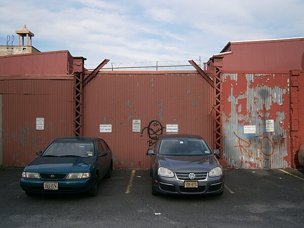
Central Avenue (Hudson Palisades)
Videos
Page
Central Avenue is a 12-block-long thoroughfare in the Heights neighborhood of Jersey City, New Jersey, United States. One of 13 shopping districts in the city, it is designated County Route 663 for 1.60-mile (2.57 km) of its length. It originates at the intersection of Summit Avenue and Pavonia Avenue, and runs north, intersecting Newark Avenue one block east of Five Corners to Paterson Plank Road near Transfer Station. The avenue continues north through Union City without the county route designation to 35th Street, two blocks north of Hackensack Plank Road.

Hudson City Station
Two posts of a now-demolished Hoboken Elevated trestle that carried elevated streetars over the Bergen Arches, Long Dock Tunnel, and State Highway 139 in Jersey City
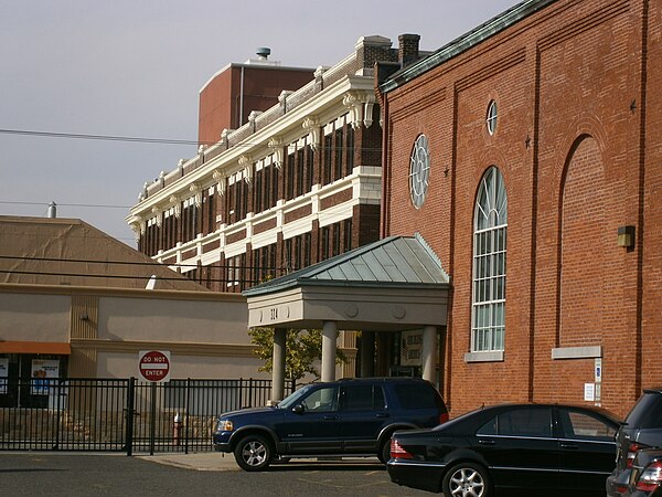
The Heights, Jersey City
Videos
Page
The Heights or Jersey City Heights is a neighborhood in Jersey City, New Jersey, located atop the New Jersey Palisades, along the west side of the Hudson River. It is bound by Paterson Plank Road on the north, Highway 139 on the south, Hoboken on the east, and the Hackensack River on the west. and Penhorn Creek on the west. Its postal area ZIP Codes are 07307, and portions of 07306.
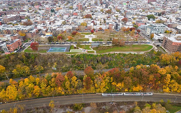
Riverview-Fiske Park and the Heights
The former Public Service Building at Palisade Avenue and Ferry Street

Reservoir #3 adjacent to Pershing Field

Pershing Field Park entrance