Cordillera Central (Puerto Rico)
Videos
Page
The Cordillera Central, is the main mountain range in Puerto Rico. The range crosses the island from west to east and divides it into its northern and southern coastal plains. The Cordillera Central runs eastward from the municipality of Maricao in the west to Aibonito in the central eastern region, and on to the Caribbean in the southeast through the Sierra Cayey.

Cordillera Central runs through the municipality of Corozal, among others in central Puerto Rico.
Cerro de Punta in Ponce, the highest peak in the Cordillera Central
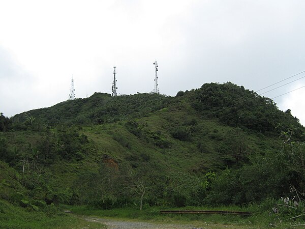
Cordillera Central and tabonuco forest in Sabana Grande.

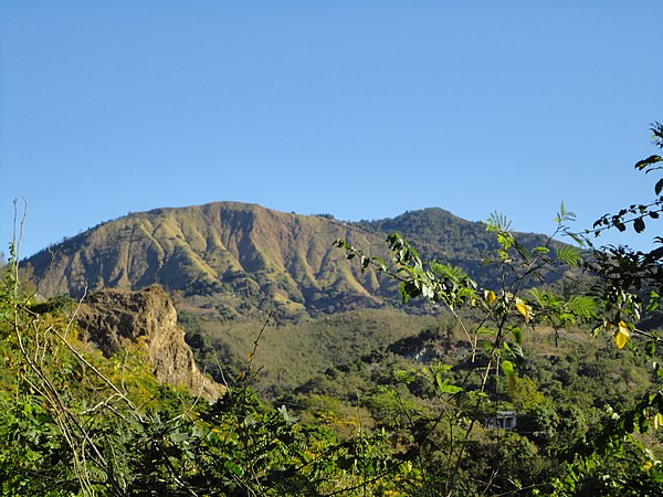
View of the Cordillera from the north in Piletas, Lares.
Maricao, Puerto Rico
Videos
Page
Maricao is a town and the second-least populous municipality of Puerto Rico; it is located at the western edge of the Cordillera Central. It is a small town set around a small square in hilly terrain, north of San Germán, Sabana Grande and Yauco; south of Las Marías and Lares, southeast of Mayagüez, and west of Adjuntas. Maricao is spread over 6 barrios and Maricao Pueblo.

Maricao High School

Hacienda Juanita in Maricao

Coffee tree atop the Maricao mountains

Fiesta del Acabe del Café in Maricao in 2014