High Desert (Oregon)
Videos
Page
The Oregon High Desert is a region of the U.S. state of Oregon located east of the Cascade Range and south of the Blue Mountains, in the central and eastern parts of the state. Divided into a southern region and a northern region, the desert covers most of five Oregon counties and averages 4,000 feet (1,200 m) above sea level. The southwest region is part of the Great Basin and the southeast is the lower Owyhee River watershed. The northern region is part of the Columbia Plateau, where higher levels of rainfall allow the largest industry on private land to be the cultivation of alfalfa and hay. Public land within the region is owned primarily by the Bureau of Land Management, which manages more than 30,000 square miles (78,000 km2) including five rivers designated as Wild and Scenic.

The Oregon high desert near Frenchglen

Stitched panorama of the Central Oregon high desert, near the GI ranch. Includes pioneer stone house.

Like other lakes in the high desert, Goose Lake was formed when glaciers melted after ice ages during the Pleistocene epoch.
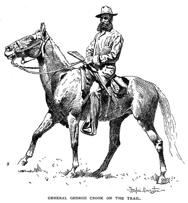
Maj. Gen. George Crook of the U.S. Army moved Camp Warner from Hart Mountain to a site west of the Warner Lakes in 1867.
Oregon
Videos
Page
Oregon is a state in the Pacific Northwest region of the United States. Oregon is a part of the Western United States, with the Columbia River delineating much of Oregon's northern boundary with Washington, while the Snake River delineates much of its eastern boundary with Idaho. The 42° north parallel delineates the southern boundary with California and Nevada. The western boundary is formed by the Pacific Ocean.
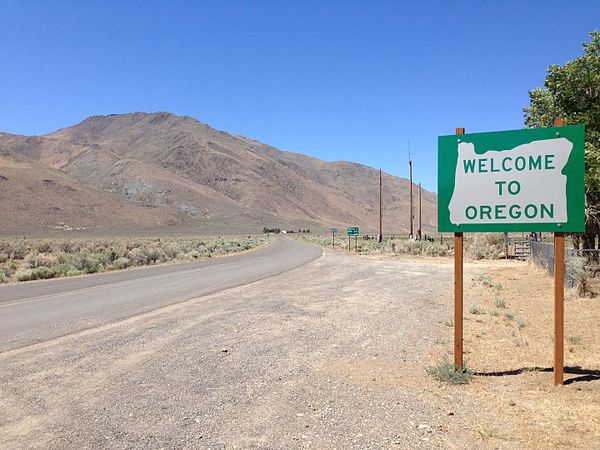
Oregon border welcome sign at Denio, Nevada

Paul Shoaway of the Umatilla tribe, 1899

Monument near Coos Bay, Oregon, of Francis Drake's first North American Encounter. Plaque by Oregon State Parks and Oregon Historical Society.

Fort Astoria, as established by John Jacob Astor in 1813