Kaiserstuhl (Baden-Württemberg)
Videos
Page
The Kaiserstuhl is a range of hills in the state of Baden-Württemberg in southwest Germany with a maximum height of 556.6 metres (1,826 ft). It is of volcanic origin and located in the southwest of the state in the counties of Emmendingen and Breisgau-Hochschwarzwald. In terms of natural regions it is considered to be a part of the Upper Rhine Plain.
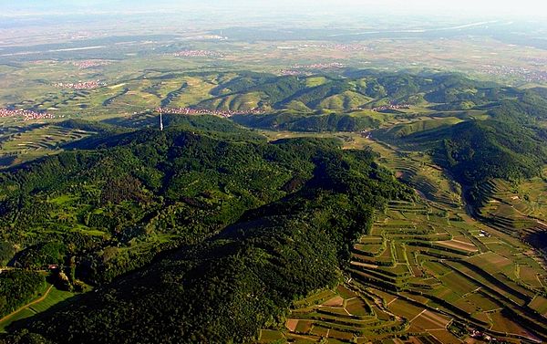
The Kaiserstuhl hills including the Totenkopf with its transmission tower, the village of Oberbergen beyond it and the Rhine River in the background (aerial view looking north-northwest)
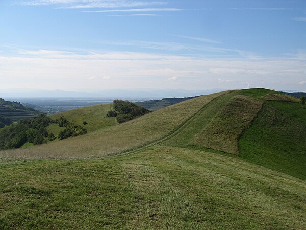
Badberg Nature Reserve, the Kaiserstuhl in late summer
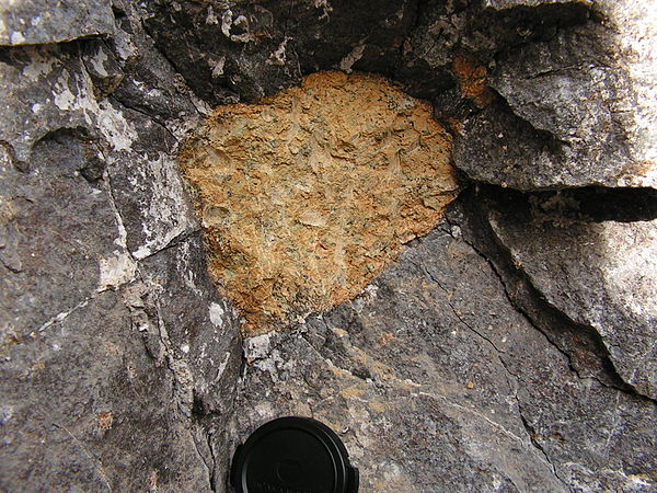
Peridotite xenolith in a nephelinite lava flow, Kaiserstuhl
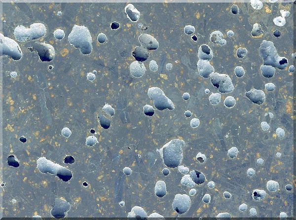
Polished limburgite, Kaiserstuhl
Upper Rhine Plain
Videos
Page
The Upper Rhine Plain, Rhine Rift Valley or Upper Rhine Graben is a major rift, about 350-kilometre-long (220 mi) and on average 50-kilometre-wide (31 mi), between Basel in the south and the cities of Frankfurt/Wiesbaden in the north. Its southern section straddles the France–Germany border. It forms part of the European Cenozoic Rift System, which extends across Central Europe. The Upper Rhine Graben formed during the Oligocene, as a response to the evolution of the Alps to the south. It remains active to the present day. Today, the Rhine Rift Valley forms a downfaulted trough through which the river Rhine flows.

Satellite image showing the southern section of the Upper Rhine Plain and the rift flanks of Vosges, France, and the Black Forest, Germany.

Schematic cross-section of the Rhine Rift Valley.

The Upper Rhine Plain, view from west to east. Front: a vineyard near Neustadt an der Weinstraße, background: Mannheim (right: Mannheim Power Station, far north: the Odenwald

A satellite view of the plain: Shot taken by NASA satellite