Prince George's County, Maryland
Videos
Page
Prince George's County is located in the U.S. state of Maryland bordering the eastern portion of Washington, D.C. As of the 2020 U.S. census, the population was 967,201, making it the second-most populous county in Maryland, behind neighboring Montgomery County. The 2020 census counted an increase of nearly 104,000 in the previous ten years. Its county seat is Upper Marlboro. It is the largest and the second most affluent African American-majority county in the United States, with five of its communities identified in a 2015 top ten list.
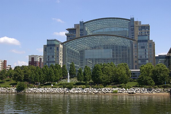
Image: Gaylord National Resort From River
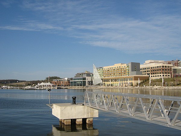
Image: National Harbor (3415458249)

Image: Mckeldin Mall

Image: Fort Washington Park, Fort Washington, Maryland (14496625334)
Maryland
Videos
Page
Maryland is a state in the Mid-Atlantic region of the United States. The state borders Virginia to its south, West Virginia to its west, Pennsylvania to its north, Delaware to its east, the Atlantic Ocean, and the national capital of Washington, D.C. With a total area of 12,407 square miles (32,130 km2), Maryland is the ninth-smallest state by land area, and its population of 6,177,224 ranks it the 18th-most populous state and the fifth-most densely populated. Maryland's capital is Annapolis, and the most populous city is Baltimore. Occasional nicknames include Old Line State, the Free State, and the Chesapeake Bay State. It is named after Henrietta Maria, the French-born queen of England, Scotland, and Ireland during the 17th century.
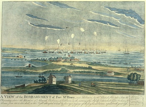
The bombardment of Fort McHenry in the Battle of Baltimore inspired "The Star-Spangled Banner".

The Battle of Antietam in 1862 was one of the bloodiest battles of the Civil War with nearly 23,000 casualties.
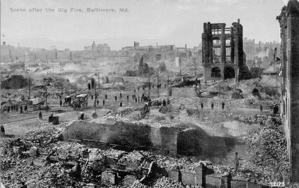
Ruin left by the Great Baltimore Fire of 1904
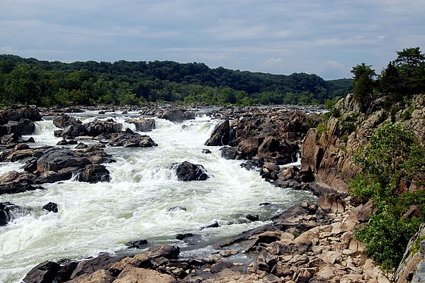
Great Falls on the Potomac River