St Kilda, Scotland
Videos
Page
St Kilda is a remote archipelago situated 64 kilometres (40 mi) west-northwest of North Uist in the North Atlantic Ocean. It contains the westernmost islands of the Outer Hebrides of Scotland. The largest island is Hirta, whose sea cliffs are the highest in the United Kingdom; three other islands were also used for grazing and seabird hunting. The islands are administratively a part of the Comhairle nan Eilean Siar local authority area.

Overview of Village Bay, St Kilda
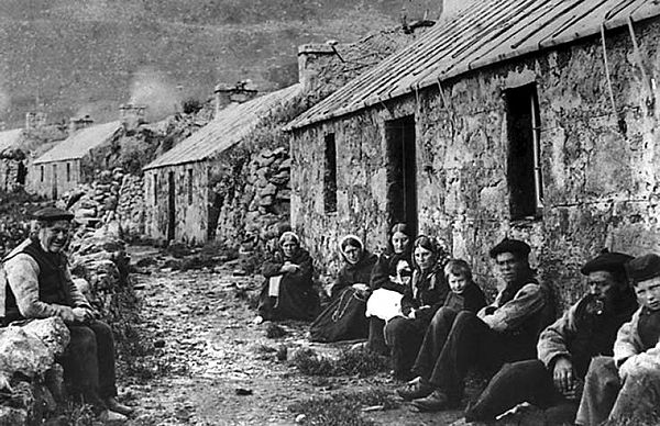
The Street in 1886
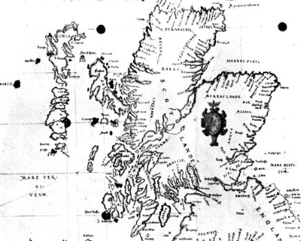
1580 Carte of Scotlande showing Hyrth (i.e. Hirta) at left and Skaldar to the north east
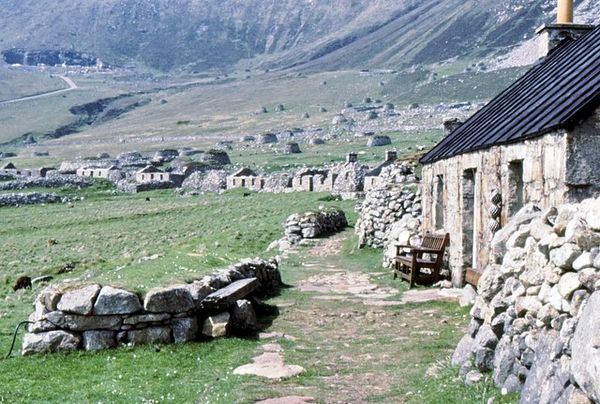
The Village Street showing restoration work
Outer Hebrides
Videos
Page
The Outer Hebrides or Western Isles, sometimes known as the Long Isle or Long Island, is an island chain off the west coast of mainland Scotland. The islands are geographically coextensive with Comhairle nan Eilean Siar, one of the 32 unitary council areas of Scotland. They form part of the archipelago of the Hebrides, separated from the Scottish mainland and from the Inner Hebrides by the waters of the Minch, the Little Minch, and the Sea of the Hebrides.
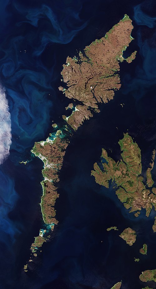
Satellite image of Outer Hebrides

Nicolson's Leap on the east coast of South Uist. In the background are Beinn Mhòr at left, and Hecla on the right.

The open landscapes of Benbecula

Bàgh Mòr, Grimsay