Streets of Albany, New York
Videos
Page
The streets of Albany, New York have had a long history going back almost 400 years. Many of the streets have changed names over the course of time, some have changed names many times. Some streets no longer exist, others have changed course. Some roads existed only on paper. The oldest streets were haphazardly laid out with no overall plan until Simeon De Witt's 1794 street grid plan. The plan had two grids, one west of Eagle Street and the old stockade, and another for the Pastures District south of the old stockade.

State Street in 1805 looking east from Eagle Street

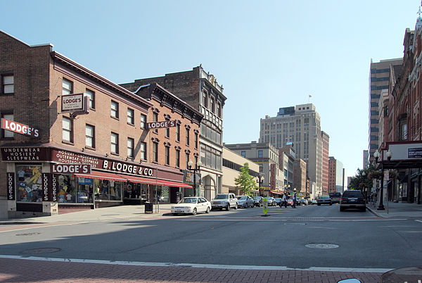
State Street in 2009 looking east from Lodge Street
Broadway
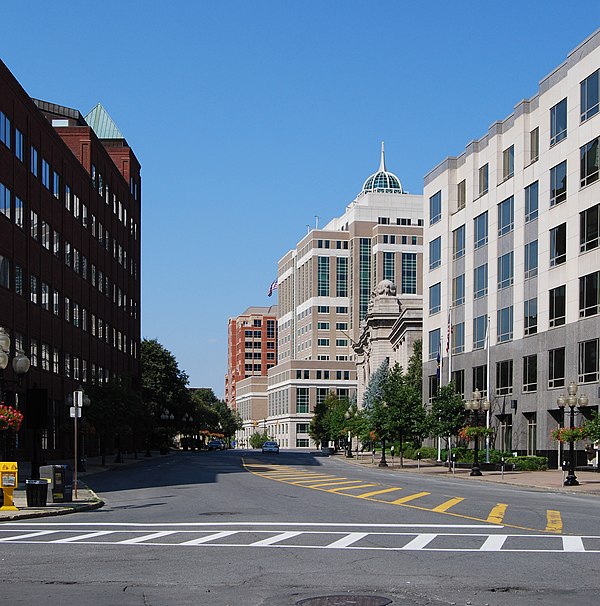
North Pearl Street
Albany, New York
Videos
Page
Albany is the capital and oldest city in the U.S. state of New York and the seat of and the most populous city in the county of the same name. It is located on the west bank of the Hudson River, about 10 miles (16 km) south of its confluence with the Mohawk River, 135 miles (220 km) north of New York City, 170 miles (270 km) west of Boston, and about 220 miles (350 km) south of Montreal.
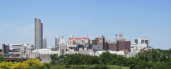
Image: Albany New Yorkfrom Rensselaer
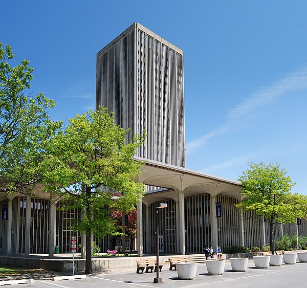
Image: U Albany State Quad

Image: Albany Houses
Image: North Pearl Street Albany