A2 road (Northern Ireland)
Videos
Page
The A2 is a major road in Northern Ireland, a considerable length of which is often referred to the Antrim Coast Road because much of it follows the scenic coastline of County Antrim; other parts of the road follow the coasts in Counties Down and Londonderry.

The A2 coastal route shown in red from Derry to Newry.

The Causeway Coast
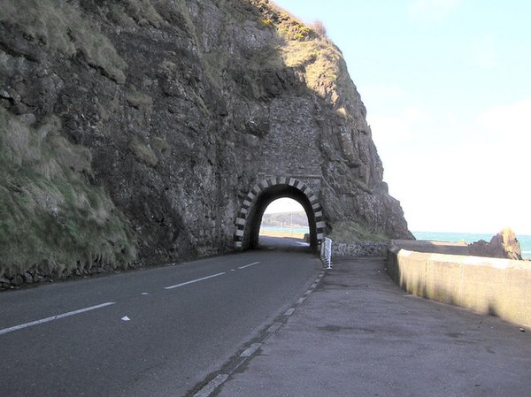
The Blackcave Tunnel or "Black Arch" at the start of the Antrim Coast Road at the northern edge of Larne.

The "White Arch" at Waterfoot. It is the pier of a bridge built in 1873 for the Glenariff Iron Ore and Harbour Company as part of Ireland's first 3 ft (914 mm) gauge railway.
Warrenpoint
Videos
Page
Warrenpoint is a small port town and civil parish in County Down, Northern Ireland. It sits at the head of Carlingford Lough, south of Newry, and is separated from the Republic of Ireland by a narrow strait. The town is beside the village of Rostrevor and is overlooked by the Mournes and Cooley Mountains. Warrenpoint sprang up within the townland of Ringmackilroy, and is locally nicknamed "The Point", which also represents the town's full name in Irish, An Pointe".

Image: Warrenpoint, July 2010 (02)

Image: Irish elk sculpture, Warrenpoint geograph.org.uk 3139100
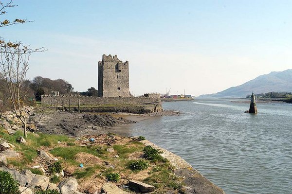
Image: Narrow Water Tower, Warrenpoint geograph.org.uk 399224
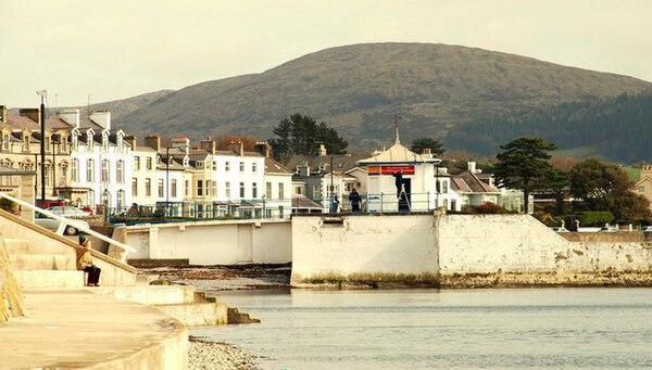
Image: Former swimming pool, Warrenpoint geograph.org.uk 1224943