Anstey, Leicestershire
Videos
Page
Anstey is a large village in Leicestershire, England, located north west of Leicester in the borough of Charnwood. Its population was 6,528 at the 2011 census. This figure is expected to increase due to the building of a new housing development off Groby Road. The village is separated from Leicester by the Rothley Brook, Castle Hill Park and the A46, and it borders the villages of Glenfield, Groby, Newtown Linford, Cropston and Thurcaston as well as the suburb of Beaumont Leys and Anstey Heights. To the north-west lies Bradgate Park.
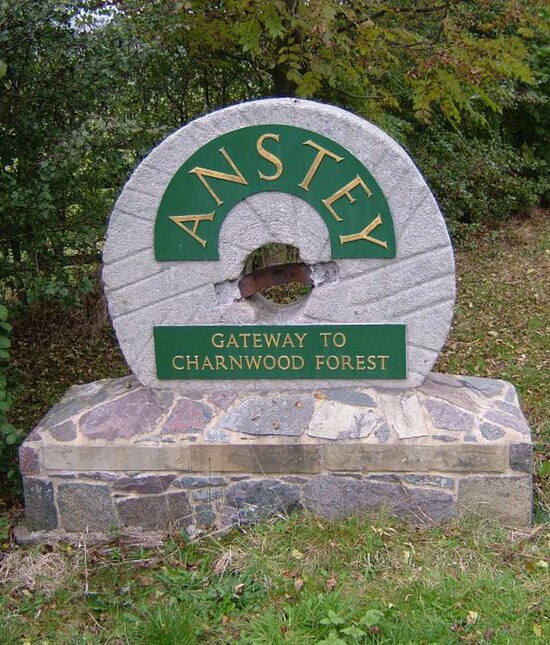
'Anstey - Gateway to Charnwood Forest' sign seen on entering the village
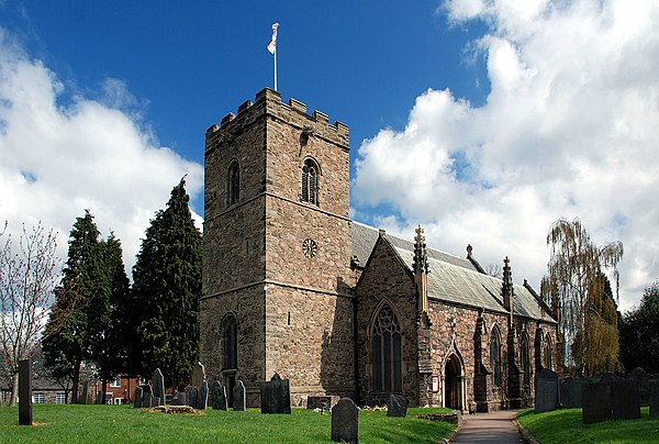
St. Mary's parish church, Anstey

King William's Bridge, Anstey
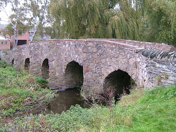
Packhorse Bridge, Anstey
Leicestershire
Videos
Page
Leicestershire is a ceremonial county in the East Midlands of England. It is bordered by Derbyshire, Nottinghamshire, and Lincolnshire to the north, Rutland to the east, Northamptonshire to the south-east, Warwickshire to the south-west, and Staffordshire to the west. The city of Leicester is the largest settlement and the county town.

Image: Belvoir Castle geograph.org.uk 2483304
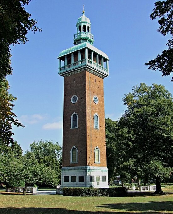
Image: Loughborough Carillon geograph.org.uk 4228475

Image: River Soar near Rothley, Leicestershire geograph.org.uk 3635324

A field of sheep near Stoke Golding