Arroyo Seco (Los Angeles County)
The Arroyo Seco, meaning "dry stream" in Spanish, is a 24.9-mile-long (40.1 km) seasonal river, canyon, watershed, and cultural area in Los Angeles County, California. The area was explored by Gaspar de Portolà who named the stream Arroyo Seco as this canyon had the least water of any he had seen. During this exploration he met the Chief Hahamog-na (Hahamonga) of the Tongva Indians.
The Devil's Gate at the Arroyo Seco River prior to 1920 damming. Note the "devil's profile" in the rock to the right.
Colorado Street Bridge and the bridge for the Ventura Freeway
1886 view of the Los Angeles and San Gabriel Railroad crossing the Arroyo Seco near Garvanza - Highland Park
Pasadena and Los Angeles Electric Railway and Los Angeles and San Gabriel Valley Railroad train in the Arroyo Seco
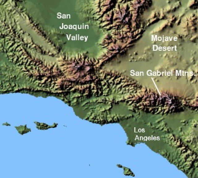
The San Gabriel Mountains comprise a mountain range located in northern Los Angeles County and western San Bernardino County, California, United States. The mountain range is part of the Transverse Ranges and lies between the Los Angeles Basin and the Mojave Desert, with Interstate 5 to the west and Interstate 15 to the east. The range lies in, and is surrounded by, the Angeles and San Bernardino National Forests, with the San Andreas Fault as its northern border.
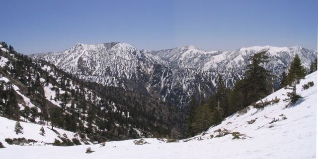
Summits in the eastern San Gabriel Mountains, Angeles National Forest, San Bernardino County, California. The main peaks are: Telegraph Peak 8,985 feet (2,739 m) (left), Cucamonga Peak, 8,859 feet (2,700 m) (center), and Ontario Peak 8,693 feet (2,650 m) (center right), as seen from Baldy Bowl on Mount Baldy.
Image: Wpdms shdrlfi 020l san gabriel mountains
East Fork San Gabriel River canyon, looking west.
Mount Harwood, from Devils Backbone