Barnstable County, Massachusetts
Videos
Page
Barnstable County is a county located in the U.S. state of Massachusetts. At the 2020 census, the population was 228,996. Its county seat is Barnstable. The county consists of Cape Cod and associated islands.

Image: Nauset Light, Eastham, MA, Cape Cod

Image: Kennedy Compound 2021
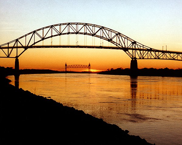
Image: Cape Cod Bourne Bridge and Railroad Bridge

Image: Chatham Beach, Massachusetts. panoramio (7)
Barnstable, Massachusetts
Videos
Page
Barnstable is a town in the U.S. state of Massachusetts and the county seat of Barnstable County. Barnstable is the largest community, both in land area and population, on Cape Cod, and is one of thirteen Massachusetts municipalities that have been granted city forms of government by the Commonwealth of Massachusetts but wish to retain "the town of" in their official names. At the 2020 census it had a population of 48,916. The town contains several villages within its boundaries. Its largest village, Hyannis, is the central business district of the county and home to Barnstable Municipal Airport, the airline hub of Cape Cod and the islands of Martha's Vineyard and Nantucket. Additionally, Barnstable is a 2007 winner of the All-America City Award.

Barnstable County Courthouse
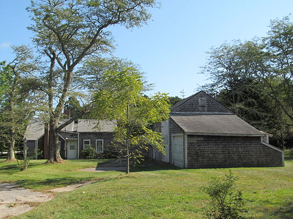
1653 Goodspeed House

West Parish Congregational Church

Barnstable Harbor, as seen from Millway Beach