Centre County, Pennsylvania
Videos
Page
Centre County is a county in the Commonwealth of Pennsylvania, United States. As of the 2020 census, the population was 158,172. Its county seat is Bellefonte. Centre County comprises the State College, PA Metropolitan Statistical Area. The county is part of the Central Pennsylvania region of the state.

The Centre County Courthouse in Bellefonte

Old Main, the main administrative building of Penn State, at University Park.

An apple tree and meadow at Bald Eagle State Park

Black Moshannon State Park
Bellefonte, Pennsylvania
Videos
Page
Bellefonte is a borough in, and the county seat of, Centre County, Pennsylvania, United States. It is approximately twelve miles northeast of State College and is part of the State College, Pennsylvania metropolitan statistical area. The borough population was 6,187 at the 2010 census. It houses the Centre County Courthouse, located downtown on the diamond. Bellefonte has also been home to five of Pennsylvania's governors, as well as two other governors. All seven are commemorated in a monument located at Talleyrand Park.
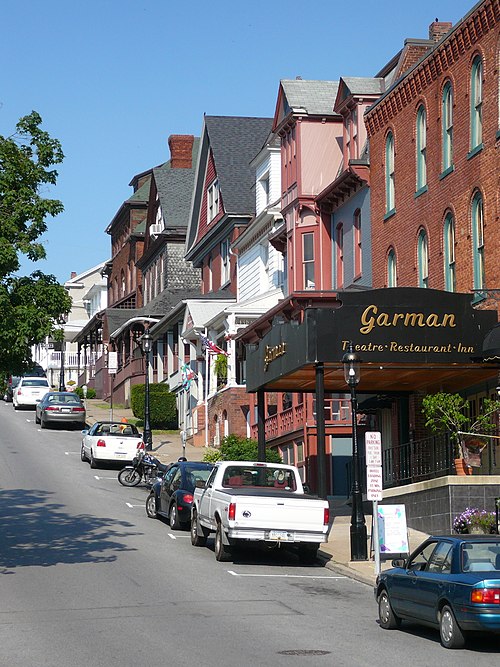
Downtown Bellefonte

Aerial photo of Bellefonte in July 2007

Courthouse at night

Looking down Allegheny Street from Reservoir Hill