Chesterfield, Derbyshire
Videos
Page
Chesterfield is a market and industrial town in the ceremonial county of Derbyshire, England. It is 24 miles (39 km) north of Derby and 11 miles (18 km) south of Sheffield at the confluence of the Rivers Rother and Hipper. In 2011, the built-up-area subdivision had a population of 88,483, making it the second-largest settlement in Derbyshire, after Derby. The wider Borough of Chesterfield had a population of 103,569 in the 2021 Census. In 2021, the town itself had a population of 76,402.
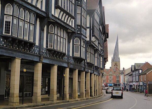
Image: Knifesmithgate, Chesterfield geograph.org.uk 5597949

Image: Chesterfield market Derbyshire UK 2
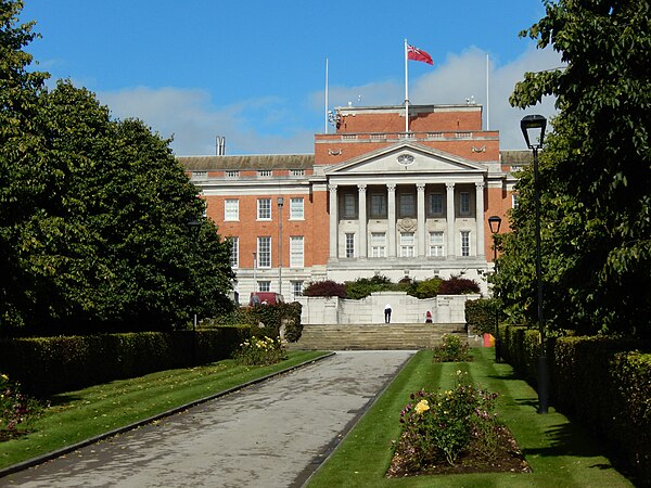
Image: Chesterfield Town Hall geograph.org.uk 5127541
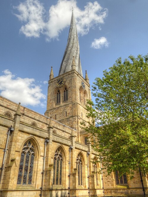
Image: Chesterfield Parish Church, St Mary and All Saints geograph.org.uk 4113645
Derbyshire
Videos
Page
Derbyshire is a ceremonial county in the East Midlands of England. It borders Greater Manchester, West Yorkshire, and South Yorkshire to the north, Nottinghamshire to the east, Leicestershire to the south-east, Staffordshire to the south and west, and Cheshire to the west. Derby is the largest settlement, and Matlock is the county town.

Image: Near Hathersage, Peak District 8 (cropped, edited)
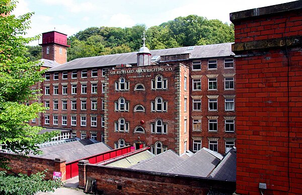
Image: Masson Mill in Matlock Bath geograph.org.uk 2631130

The henge monument at Arbor Low

The rugged moorland edge of the southern Pennines at Kinder Downfall