County Route 539 (New Jersey)
Videos
Page
County Route 539 is a county highway in the U.S. state of New Jersey. The highway extends 54.32 miles (87.42 km) from Main Street in Tuckerton to CR 535 in Cranbury Township. Much of the two-lane route passes through isolated areas of the Pine Barrens and the eastern end of the Fort Dix entity of Joint Base McGuire–Dix–Lakehurst. In these stretches, the route has a speed limit of 55 miles per hour (89 km/h), one of the few two-lane roads in the state to carry a 55 mph limit. CR 539 passes through three boroughs: Tuckerton, Allentown, and Hightstown. Other than those boroughs, the route travels mainly through rural townships.

CR 539 southbound past CR 606 in Little Egg Harbor Township

CR 539 southbound in Manchester Township within the Pine Barrens

CR 539 northbound north of CR 537, a former section of Route 37
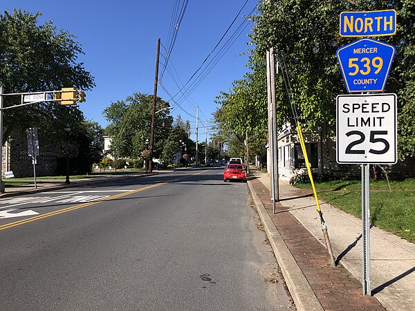
View north along CR 539 along Main Street in Hightstown
U.S. Route 9 in New Jersey
Videos
Page
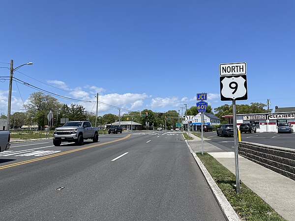
U.S. Route 9 (US 9) is a United States Numbered Highway in the Mid-Atlantic region of the United States, running from Laurel, Delaware, to Champlain, New York. In New Jersey, the route runs 166.80 miles (268.44 km) from the Cape May–Lewes Ferry terminal in North Cape May, Cape May County, where the ferry carries US 9 across the Delaware Bay to Lewes, Delaware, north to the George Washington Bridge in Fort Lee, Bergen County, where the route along with Interstate 95 (I-95) and US 1 continue into New York City. US 9 is the longest U.S. Highway in the state.
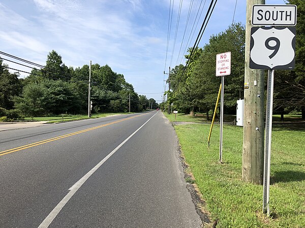
US 9 southbound past its intersection with CR 601 in Middle Township

US 9 southbound at the northern end of its concurrency with the GSP in Somers Point
US 9 northbound past US 30 in Absecon
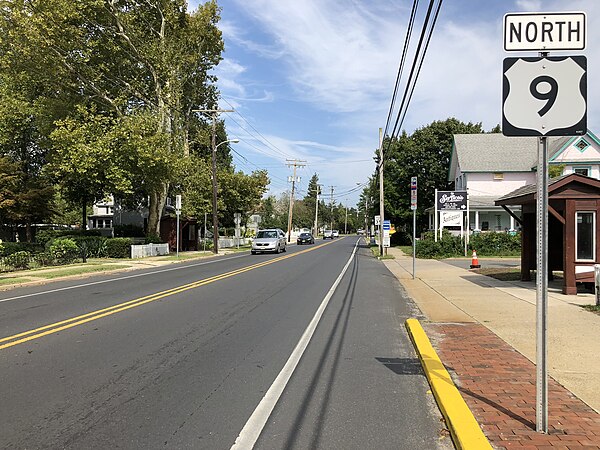
US 9 northbound past its intersection with CR 554 in Barnegat Township