Downtown Berkeley, Berkeley, California
Videos
Page
Downtown Berkeley is the central business district of the city of Berkeley, California, United States, around the intersection of Shattuck Avenue and Center Street, and extending north to Hearst Avenue, south to Dwight Way, west to Martin Luther King Jr. Way, and east to Oxford Street. Downtown is the mass transit hub of Berkeley, with several AC Transit and UC Berkeley bus lines converging on the city's busiest BART station, as well as the location of Berkeley's civic center, high school, and Berkeley City College.

Downtown Berkeley in the foreground, with San Francisco seen across the Bay
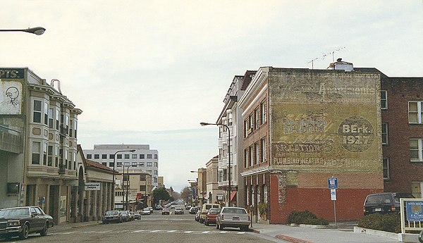
Addison Street, between Oxford Street and Shattuck Avenue, in 1994. The historic Studio Building is the second building on the right.

University Avenue at night.
Berkeley, California
Videos
Page
Berkeley is a city on the eastern shore of San Francisco Bay in northern Alameda County, California, United States. It is named after the 18th-century Anglo-Irish bishop and philosopher George Berkeley. It borders the cities of Oakland and Emeryville to the south and the city of Albany and the unincorporated community of Kensington to the north. Its eastern border with Contra Costa County generally follows the ridge of the Berkeley Hills. The 2020 census recorded a population of 124,321.

Looking west over the city from the Berkeley Hills, with San Francisco in the background
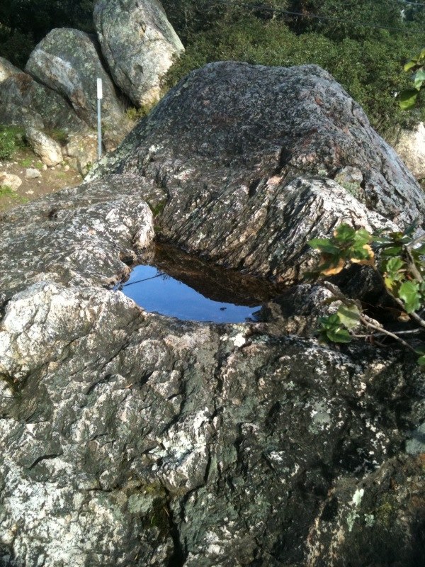
This pit in the surface of a rock at Indian Rock Park is typical of those used by the Ohlone people to grind acorns.

Berkeley and much of the East Bay was part of Rancho San Antonio, granted to the Peralta family in 1820.
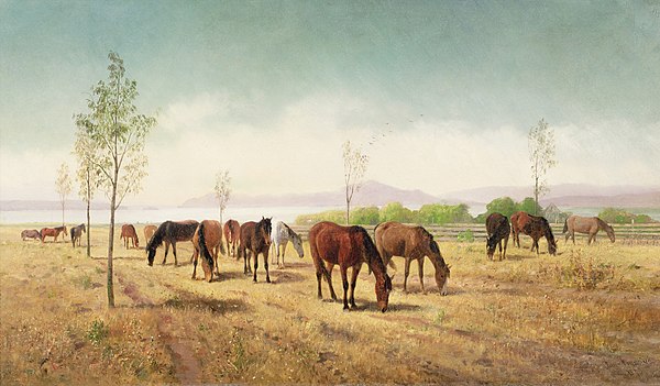
Horses Grazing, Berkeley; painted by artist William Hahn in 1875