Enfield, London
Videos
Page
Enfield is a large town in north London, England, 10.1 miles (16.3 km) north of Charing Cross. It had a population of 156,858 in 2018. It includes the areas of Botany Bay, Brimsdown, Bulls Cross, Bullsmoor, Bush Hill Park, Clay Hill, Crews Hill, Enfield Highway, Enfield Lock, Enfield Town, Enfield Wash, Forty Hill, Freezywater, Gordon Hill, Grange Park, Hadley Wood, Ponders End, and World's End.
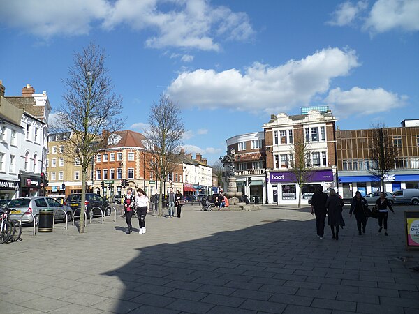
The Town, Enfield

St Andrew's Parish Church, Enfield Town

The New River, Enfield park looking north

The White House, Silver Street, Enfield
Ponders End
Videos
Page
Ponders End is the southeasternmost part of Enfield, north London, centred on the Hertford Road. Situated to the west of the River Lee Navigation, it became industrialised through the 19th century, similar to the Lea Valley in neighbouring Edmonton and Brimsdown, with manufacturing giving way to warehousing in the late-20th century. The area features much social housing, with streets also lined with suburban terraced housing from the 19th and early 20th centuries.

Tower blocks at Alma Road

The Harvester Navigation Inn, seen from the towpath of the River Lee Navigation

Wright's Flour Mill and the mill stream

South Marsh, Overflow Channel and the grassed embankment of the King George V Reservoir