L'Enfant Plan
Videos
Page
The L'Enfant Plan for the city of Washington is the urban plan developed in 1791 by Major Pierre (Peter) Charles L'Enfant for George Washington, the first president of the United States. It is regarded as one of the most amazing urban design plans in the world and has served as inspiration for the plans of Detroit, Indianapolis, Brasilia, and New Delhi.
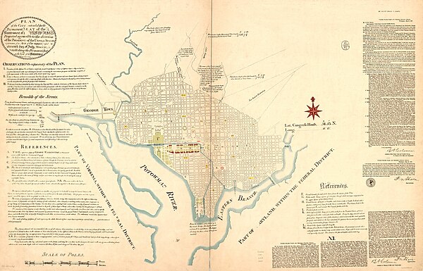
U.S. Coast and Geodetic Survey (1887)

Boston Public Library Facsimile of manuscript of Peter Charles L'Enfant's 1791 plan for the federal capital city (U.S. Coast and Geodetic Survey, 1887)
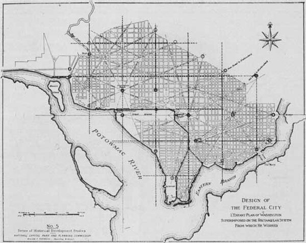
Design of the Federal City: L'Enfant Plan of Washington Superimposed on the Rectangular System From which He Worked (1930)

West side of Jefferson Pier, with Washington Monument in background (2012)
Washington, D.C.
Videos
Page
Washington, D.C., formally the District of Columbia and commonly called Washington or D.C., is the capital city and federal district of the United States. The city is on the Potomac River, across from Virginia, and shares land borders with Maryland to its north and east. Washington, D.C., was named for George Washington, a Founding Father and the first president of the United States. The district is named for Columbia, the female personification of the nation.
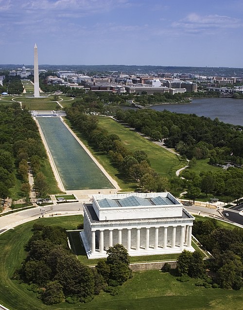
Image: National Mall, Lincoln Memorial 04448v

Image: 12 07 13 washington by Ralf R 08
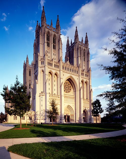
Image: Washington National Cathedral Highsmith 15393v
Image: 12 07 12 wikimania wdc by Ralf R 010