Lindfield, West Sussex
Videos
Page
Lindfield is a village and civil parish in the Mid Sussex District of West Sussex, England. The parish lies 1 mile (2 km) to the north-east of Haywards Heath, and stands on the upper reaches of the River Ouse. The name 'Lindfield' means 'open land with lime trees.'

Lindfield High Street leading to All Saints Church

Village Pond

The Thatched Cottage, with the Old Place visible behind
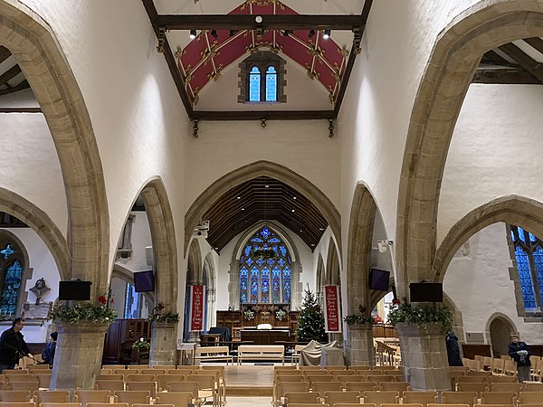
Interior of All Saints Church, Lindfield
Mid Sussex District
Videos
Page
Mid Sussex is a local government district in West Sussex, England. The largest town is Haywards Heath, where the council is based. The district also contains the towns of Burgess Hill and East Grinstead plus surrounding rural areas, including many villages. The district includes part of the South Downs National Park and part of the designated Area of Outstanding Natural Beauty of High Weald, including sections of Ashdown Forest. The district contains most headwaters of the River Ouse. Its largest body of water is Ardingly reservoir which is used by watersports clubs. At the 2021 census the district had a population of 152,949.

Muster Green at Haywards Heath, the district's largest town.

Mid Sussex District

Church Walk, Burgess Hill

High Street, East Grinstead