M-66 (Michigan highway)
Videos
Page
M-66 is a north–south state trunkline highway on the Lower Peninsula of the US state of Michigan. It runs from the Indiana state line in the south to Charlevoix in the north. M-66 is the only state highway to run the north–south distance of the Lower Peninsula. It starts as a continuation of State Road 9 (SR 9), which provides access to the Indiana Toll Road. The total length is approximately 272.9 miles (439.2 km), which includes almost 3.4 miles (5.5 km) of freeway between Interstate 94 (I-94) and downtown Battle Creek designated as I-194. A section of the highway immediately south of I-94 is an expressway, a type of divided limited-access highway, while the section along I-194 is a full freeway; otherwise M-66 is a two-lane rural highway. Two sections are listed on the National Highway System.

Northern terminus of M-66 at US 31 in Charlevoix
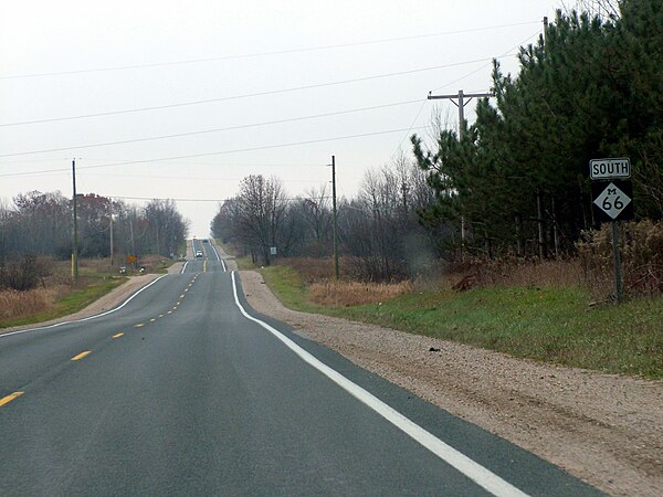
A characteristic view of M-66 in rural Michigan just south of the M-46 junction
Michigan State Trunkline Highway System
Videos
Page
The State Trunkline Highway System consists of all the state highways in Michigan, including those designated as Interstate, United States Numbered, or State Trunkline highways. In their abbreviated format, these classifications are applied to highway numbers with an I-, US, or M- prefix, respectively. The system is maintained by the Michigan Department of Transportation (MDOT) and comprises 9,669 miles (15,561 km) of trunklines in all 83 counties of the state on both the Upper and Lower peninsulas, which are linked by the Mackinac Bridge. Components of the system range in scale from 10-lane urban freeways with local-express lanes to two-lane rural undivided highways to a non-motorized highway on Mackinac Island where cars are forbidden. The longest highway is nearly 400 miles (640 km) long, while the shortest is about three-quarters of a mile. Some roads are unsigned highways, lacking signage to indicate their maintenance by MDOT; these may be remnants of highways that are still under state control whose designations were decommissioned or roadway segments left over from realignment projects.

Welcome sign along US 8

M-553 approaching Glass' Curve south of Marquette
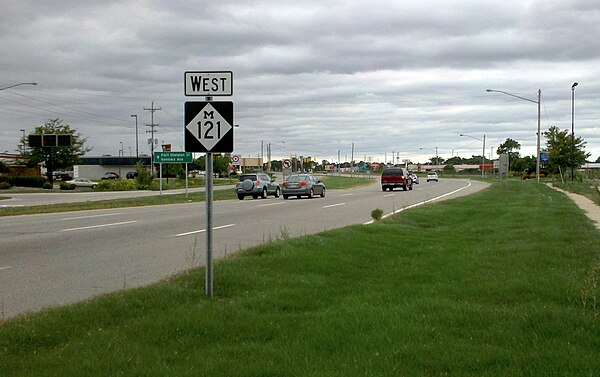
M-121 in Jenison

Grand River Avenue, once a part of M-16 and later US 16, was originally an Indian trail converted as a plank road before becoming a state highway.