Mount Guyot (Great Smoky Mountains)
Videos
Page
Mount Guyot is a mountain in the Great Smoky Mountains, located in the southeastern United States. At 6,621 feet (2,018 m) in elevation, Guyot is the fourth-highest summit in the Eastern U.S., and the second-highest in the Great Smoky Mountains National Park. While the mountain is remote, the Appalachian Trail crosses its south slope, passing to within 1,000 feet (300 m) of the summit.

Mt. Guyot, looking south from the Appalachian Trail

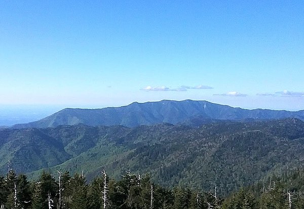
The Guyot massif, with Mt. Guyot at the center, looking west from Mt. Cammerer

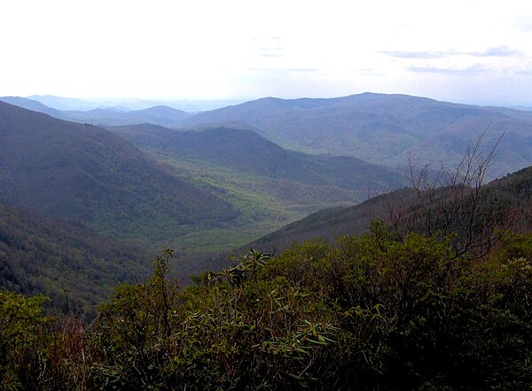
Looking northwest from a clearing at 6,600 feet (2,000 m), just off the summit of Mt. Guyot
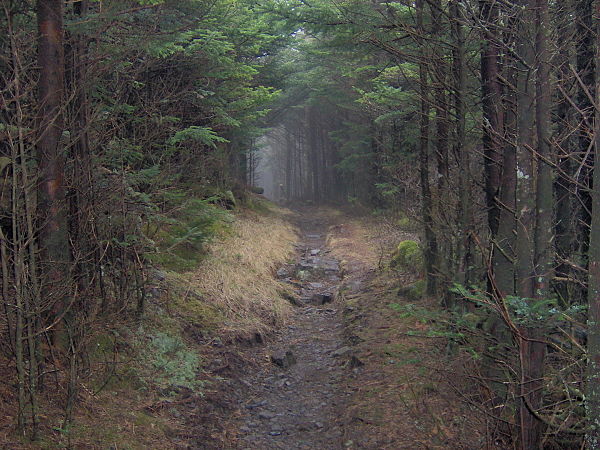
The dense forest of the Eastern Smokies renders the Appalachian Trail a virtual tunnel as it crosses the western slope of Mount Guyot
Great Smoky Mountains National Park
Videos
Page
Great Smoky Mountains National Park is an American national park in the southeastern United States, with parts in North Carolina and Tennessee. The park straddles the ridgeline of the Great Smoky Mountains, part of the Blue Ridge Mountains, which are a division of the larger Appalachian Mountain chain. The park contains some of the highest mountains in eastern North America, including Clingmans Dome, Mount Guyot, and Mount Le Conte. The border between the two states runs northeast to southwest through the center of the park. The Appalachian Trail passes through the center of the park on its route from Georgia to Maine. With 13 million visitors in 2023, the Great Smoky Mountains National Park is the most visited national park in the United States.

View from the Cliff Tops formation atop Mount Le Conte

Clingmans Dome is the highest mountain in the national park at 6,643 feet (2,025 m)
Mount Le Conte is the tallest mountain in eastern North America, measured from base to summit
The Sugarlands are one of several prominent valleys within the range