New York State Route 17 (NY 17) is a major state highway that extends for 397 miles (638.91 km) through the Southern Tier and Downstate regions of New York in the United States. It begins at the Pennsylvania state line in Mina and follows the Southern Tier Expressway east through Corning to Binghamton and the Quickway from Binghamton east to Woodbury, where it turns south to follow the Orange Turnpike to the New Jersey state line near Suffern, where it connects to New Jersey Route 17. From the Pennsylvania border to the village of Waverly and from Binghamton to Windsor, NY 17 is concurrent with Interstate 86 (I-86). Eventually, the entire east–west portion of NY 17 from the Pennsylvania border to Woodbury will become I-86 as projects to upgrade the route to Interstate Highway standards are completed.
Sign along eastbound NY 17 marking return to New York after its brief foray into Pennsylvania
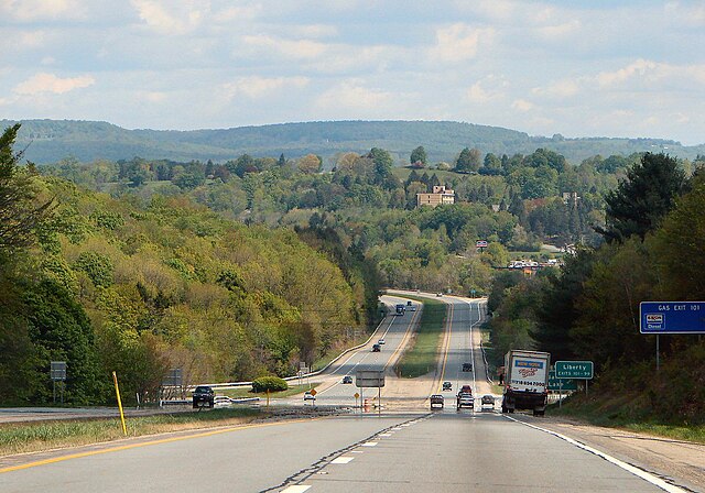
NY 17 at Liberty, New York
The original exit 98, a signalized intersection in Parksville. A nearly 3-mile (4.8 km) bypass around the hamlet opened in 2011 to replace the junction.
NY 17's former alignment in the town of Red House, abandoned and banned from traffic
The Southern Tier is a geographic subregion of the broader Upstate region of New York State, geographically situated along or very near the state border with Pennsylvania. Definitions of the region vary widely, but generally encompass counties surrounding the Binghamton and Elmira-Corning metropolitan areas. This region is adjacent to the Northern Tier of Pennsylvania, and both these regions together are known as the Twin Tiers.
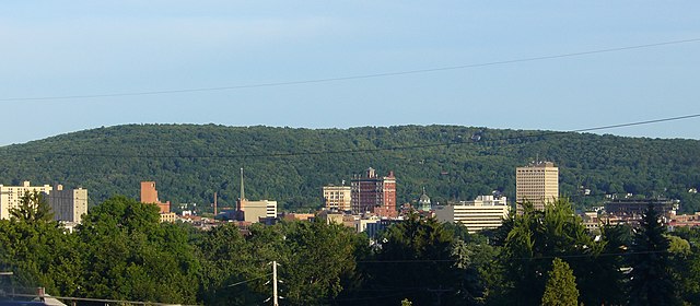
Skyline of Binghamton, New York
Allegany State Park


