The Río de la Plata, also called the River Plate or La Plata River in English, is the estuary formed by the confluence of the Uruguay River and the Paraná River at Punta Gorda. It empties into the Atlantic Ocean and forms a funnel-shaped indentation on the southeastern coastline of South America. Depending on the geographer, the Río de la Plata may be considered a river, an estuary, a gulf, or a marginal sea. If considered a river, it is the widest in the world, with a maximum width of 220 kilometres (140 mi).
NASA photo of the Río de la Plata looking from northwest to southeast. Buenos Aires is visible on the right side near the Paraná River delta. River sediments turn the seawater brown in the vicinity of Montevideo, visible on the left coast.
Río de la Plata in Argentina
Satellite image of the Paraná and Uruguay rivers emptying into the Río de la Plata. Due to the relatively calm surface of the estuary and the angle of the Sun relative to the satellite, the current of the river flowing out into the Atlantic is visible.
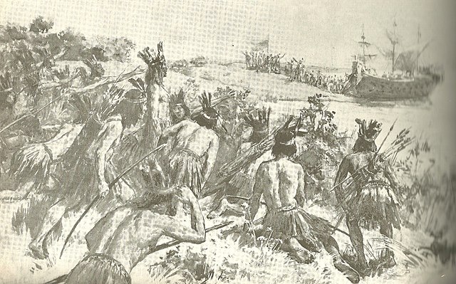
Discovery of the Río de la Plata by Juan Díaz de Solís. He would be attacked and killed by Charrúas later.
An estuary is a partially enclosed coastal body of brackish water with one or more rivers or streams flowing into it, and with a free connection to the open sea. Estuaries form a transition zone between river environments and maritime environments and are an example of an ecotone. Estuaries are subject both to marine influences such as tides, waves, and the influx of saline water, and to fluvial influences such as flows of freshwater and sediment. The mixing of seawater and freshwater provides high levels of nutrients both in the water column and in sediment, making estuaries among the most productive natural habitats in the world.
Río de la Plata estuary
New York–New Jersey Harbor Estuary
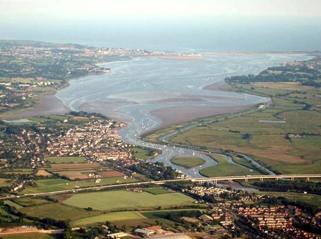
River Exe estuary
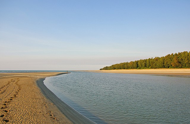
Estuary mouth located in Darwin, Northern Territory, Australia


