Roncesvalles is a neighbourhood in the city of Toronto, Ontario, Canada, centred on Roncesvalles Avenue, a north–south street leading from the intersection of King and Queen Streets to the south, north to Dundas Street West, a distance of roughly 1.7 kilometres. It is located east of High Park, north of Lake Ontario, in the Parkdale–High Park provincial and federal ridings and the municipal Ward 4. Its informal boundaries are High Park to the west, Bloor Street West to the north, Lake Ontario/Queen Street West to the south and Lansdowne Avenue/rail corridor to the east. Originally known as "Howard Park", most of this area was formerly within the boundaries of Parkdale and Brockton villages and was annexed into Toronto in the 1880s.
Roncesvalles Avenue, looking north from Grenadier Road
John Howard's Sunnyside home, c. 1880. The house was later demolished to make way for St. Joseph's Hospital.
Roncesvalles Carhouse was built at the intersection of Roncesvalles Avenue and Queen Street West in 1895.
A depiction of Howard Park School, c. 1909. Howard Park School was the first school built in the neighbourhood.
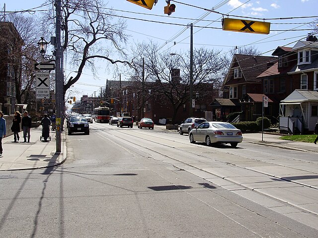
Roncesvalles Avenue is a north–south minor arterial street in Toronto, Ontario, Canada. It begins at the intersection of Queen Street West, King Street West and the Queensway running north to Dundas Street West. At its southern starting point, King Street West traffic continues northward onto Roncesvalles Avenue unless the traffic turns east or west onto Queen Street West or the Queensway. At its northern end point, traffic continues onto Dundas Street, which is essentially a straight-line northern extension of Roncesvalles.
The 504 King streetcar provides regular transit service along the length of Roncesvalles Avenue
Bumpout on Roncesvalles Avenue serving as both a streetcar loading platform as well as a bicycle lane