The Saint Joe River is a 140-mile (225 km) long tributary of Coeur d'Alene Lake in northern Idaho. Beginning at an elevation of 6,487 feet (1,977 m) in the Northern Bitterroot Range of eastern Shoshone County, it flows generally west through the Saint Joe River Valley and the communities of Avery and Calder. Past Calder, it flows into Benewah County and through the town of St. Maries, where it receives its largest tributary, the Saint Maries River. It then turns northwest, passing through Heyburn State Park before reaching its mouth just north of the Kootenai County line. Much of the river's route through Heyburn State Park is partially flooded due to raised water levels from the Washington Water Power dam at Post Falls on the Spokane River below Coeur d'Alene Lake. With a mouth elevation of 2,129 feet (649 m), it is claimed to be the highest navigable river in the world.
Saint Joe River in the St. Joe National Forest
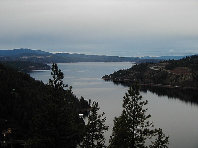
Lake Coeur d'Alene, officially Coeur d'Alene Lake, is a natural dam-controlled lake in North Idaho, located in the Pacific Northwest region of the United States. At its northern end is the city of Coeur d'Alene. It spans 25 miles (40 km) in length and ranges from 1 to 3 miles (5 km) wide with over 109 miles (175 km) of shoreline.
Lake Coeur d'Alene
Lake Coeur d'Alene from the International Space Station
Bird watchers viewing eagles from the Mineral Ridge boat launch on Wolfe Lodge Bay