Sherwood, Oregon
Videos
Page
Sherwood is a city in Washington County, Oregon, United States. Located in the southeast corner of the county, it is a residential community in the Tualatin Valley, southwest of Portland. The population was 20,450 at the 2020 census. Sherwood was first incorporated in 1893 as a town. Originally named Smockville after its founder, James Christopher Smock, the town was given its current name by local businessman Robert Alexander in 1891. The name "Sherwood" may have come from Sherwood, Michigan or the Sherwood Forest in England.

Building in downtown Sherwood

Sherwood from above
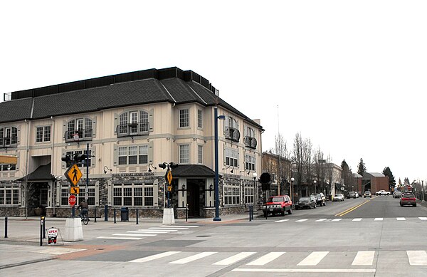
Sherwood downtown from the corner of Railroad and Main looking north

Sherwood from Above - Further down 99W
Washington County, Oregon
Videos
Page
Washington County is one of 36 counties in the U.S. state of Oregon and part of the Portland metropolitan area. The 2020 census recorded the population as 600,372, making it the second most populous county in the state and most populous "Washington County" in the United States. Hillsboro is the county seat and largest city, while other major cities include Beaverton, Tigard, Cornelius, Banks, Gaston, Sherwood, North Plains, and Forest Grove, the county's oldest city. Originally named Twality when created in 1843, the Oregon Territorial Legislature renamed it for the nation's first president in 1849 and included the entire northwest corner of Oregon before new counties were created in 1854. The Tualatin River and its drainage basin lie almost entirely within the county, which shares its boundaries with the Tualatin Valley. It is bordered on the west and north by the Northern Oregon Coast Range, on the south by the Chehalem Mountains, and on the north and east by the Tualatin Mountains, or West Hills.

Image: Washington County Courthouse entrance sign

Image: Meier Road Barn (Washington County, Oregon scenic images) (wash DA0034)

Image: Canola Field in Flower (Washington County, Oregon scenic images) (wash DA0035)
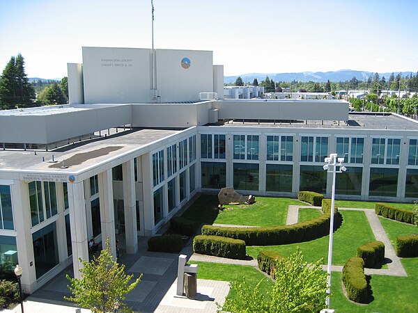
County jail in Hillsboro