West End (Washington, D.C.)
Videos
Page
The West End is a neighborhood in the Northwest quadrant of Washington, D.C., bounded by K Street NW to the south, Rock Creek Park to the west and north, and New Hampshire Avenue NW and 23rd Street NW to the east. The West End is so named because it was the westernmost part of the original L'Enfant Plan for the city of Washington, before the annexation of Georgetown. It is home to the embassies of Spain and Qatar as well as the Delegation of the European Union to the United States. The George Washington University and George Washington University Hospital are on the edge of the West End, at Washington Circle.

Image: M Street NW West End

Image: New Hampshire Avenue and 22nd Street
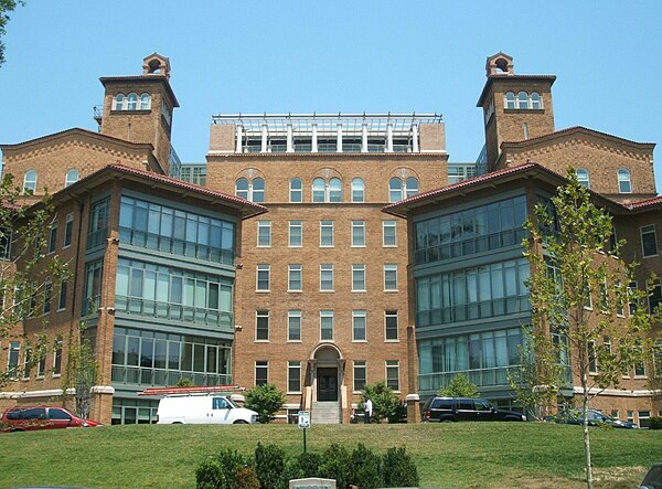
Image: Columbia Hospital for Women 1 (cropped)

Image: Ritz Carlton in Washington, D.C
Northwest (Washington, D.C.)
Videos
Page
Northwest is the northwestern quadrant of Washington, D.C., the capital of the United States, and is located north of the National Mall and west of North Capitol Street. It is the largest of the four quadrants of the city, and it includes the central business district, the Federal Triangle, and the museums along the northern side of the National Mall, as well as many of the District's historic neighborhoods.

Color-enhanced USGS satellite image of Washington, D.C. with the crosshairs marking the quadrant divisions of Washington, D.C., with the U.S. Capitol at the center of the dividing lines. To the west of the Capitol extends the National Mall, visible as a slight green band in the image. The Northwest quadrant is the largest, located north of the Mall and west of North Capitol Street.
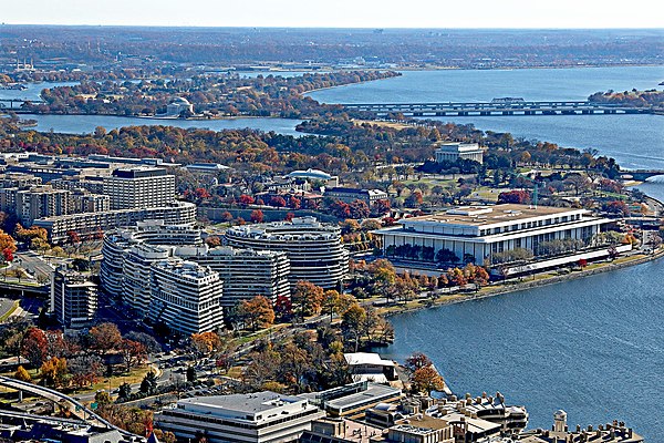
The Watergate complex (left) and the Kennedy Center (right) in the Foggy Bottom neighborhood

Washington National Cathedral

Francis Scott Key Bridge