2011 Christchurch earthquake
Videos
Page
A major earthquake occurred in Christchurch on Tuesday 22 February 2011 at 12:51 p.m. local time. The Mw6.2 earthquake struck the Canterbury region in the South Island, centred 6.7 kilometres (4.2 mi) south-east of the central business district. It caused widespread damage across Christchurch, killing 185 people in New Zealand's fifth-deadliest disaster.
Damaged Catholic cathedral two months after the earthquake

Results of liquefaction; the fine washed-up sand solidifies after the water has run off

115 bodies were recovered from the CTV Building, which collapsed during the quake
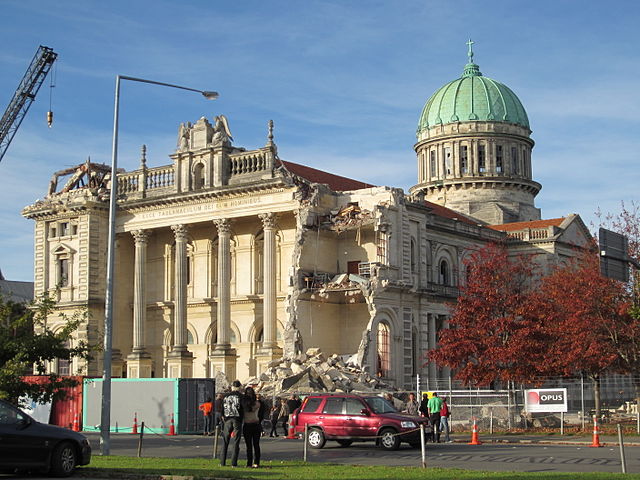
The Grand Chancellor had to be demolished
Christchurch
Videos
Page
Christchurch is the largest city in the South Island and the second-largest city by urban area population in New Zealand, after Auckland. Christchurch lies in the Canterbury Region, near the centre of the east coast of the South Island, east of the Canterbury Plains. It is located near the southern end of Pegasus Bay, and is bounded to the east by the Pacific Ocean and to the south by Banks Peninsula. The Avon River / Ōtākaro flows through the centre of the city, with a large urban park along its banks. Christchurch has a reputation for being an 'English' city, with its architectural identity and common nickname the "Garden City" due to similarities with garden cities in England.

Coat of arms
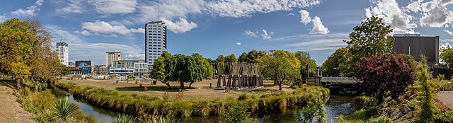
Image: Panorama of northern parts of Christchurch Central City, New Zealand
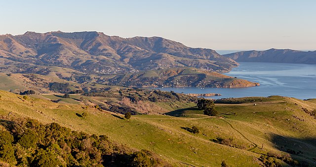
Image: View towards Akaroa from Little Akaloa Road, Canterbury, New Zealand
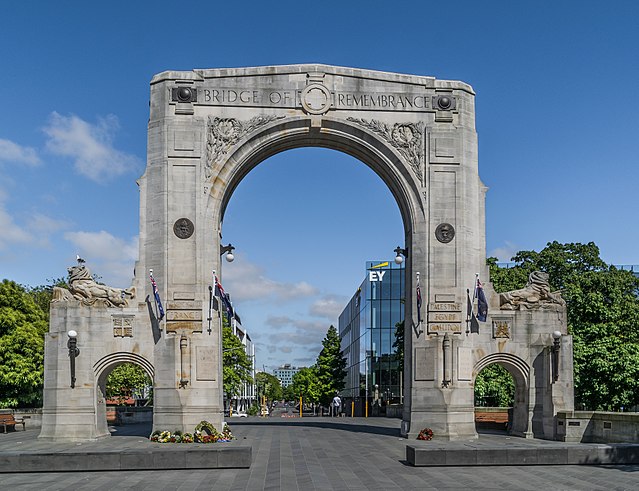
Image: Bridge of Remembrance 01