The Afar Triangle is a geological depression caused by the Afar Triple Junction, which is part of the Great Rift Valley in East Africa. The region has disclosed fossil specimens of the very earliest hominins; that is, the earliest of the human clade, and it is thought by some paleontologists to be the cradle of the evolution of humans. The Depression overlaps the borders of Eritrea, Djibouti and the entire Afar Region of Ethiopia; and it contains the lowest point in Africa, Lake Assal, Djibouti, at 155 m (509 ft) below sea level.
Moderate Resolution Imaging Spectroradiometer satellite image of the Afar Depression and surrounding regions of the Red Sea, Gulf of Aden, Arabia, and the Horn of Africa
Perspective view of the Afar Depression and environs, generated by draping a Landsat image over a digital elevation model.
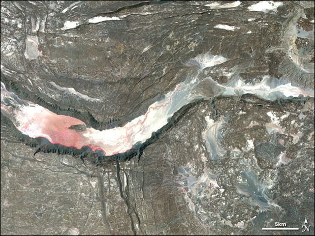
Satellite image of a graben in the Afar Depression.
The Afar Triple Junction is located along a divergent plate boundary dividing the Nubian, Somali, and Arabian plates. This area is considered a present-day example of continental rifting leading to seafloor spreading and producing an oceanic basin. Here, the Red Sea Rift meets the Aden Ridge and the East African Rift. The latter extends a total of 6,500 kilometers (4,000 mi) from the Afar Triangle to Mozambique.
The internal dynamics of a rift system.
Manda-Hararo rift in the Afar region of Ethiopia with Dabbahu Volcano in the background