Ailsa Craig
Videos
Page
Ailsa Craig is an island of 99 ha in the outer Firth of Clyde, 16 km west of mainland Scotland, upon which microgranite has long been quarried to make curling stones. The now-uninhabited island comprises the remains of a magmatic pluton formed during the same period of igneous activity as magmatic rocks on the nearby Isle of Arran.
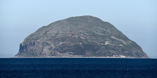
Ailsa Craig from the southeast
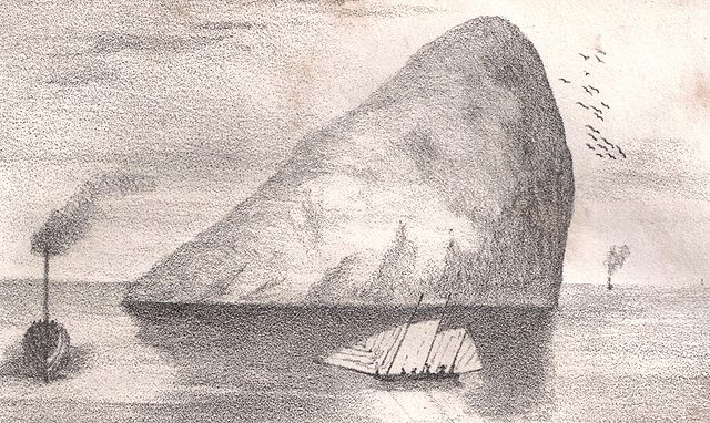
Ailsa Craig as drawn in the 1840s

Ailsa Craig in the background with Dunure in 1840
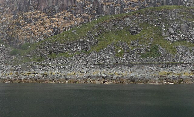
Remnants of the old mineral railway embankment near Kennedy's Nags
Firth of Clyde
Videos
Page
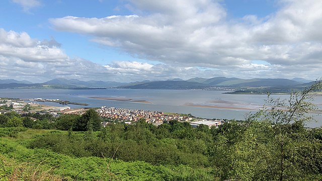
The Firth of Clyde is the mouth of the River Clyde. It is located on the west coast of Scotland and constitutes the deepest coastal waters in the British Isles. The firth is sheltered from the Atlantic Ocean by the Kintyre peninsula, which encloses the outer firth in Argyll and Ayrshire. The Kilbrannan Sound is a large arm of the Firth of Clyde, separating the Kintyre Peninsula from the Isle of Arran. Within the Firth of Clyde is another major island – the Isle of Bute. Given its strategic location at the entrance to the middle and upper Clyde, Bute played a vital naval military role during World War II.

The Seamill beach looks south down the outer firth towards southern Arran and Ailsa Craig
River Clyde navigable channel and sandbanks leading to the Tail of the Bank, seen from above redevelopments on the Lithgows shipyard site, and Greenock's Great Harbour.

The Holy Loch seen across the upper Firth of Clyde from Gourock, with Hunter's Quay to the left and Strone to the right, with the Caledonian MacBrayne ferry MV Saturn arriving from Dunoon.

Firth of Clyde, from Dunoon