Airline Highway
Videos
Page
Airline Highway is a divided highway in the U.S. state of Louisiana, built in stages between 1925 and 1953 to bypass the older Jefferson Highway. It runs 115.6 miles (186.0 km), carrying U.S. Highway 61 from New Orleans northwest to Baton Rouge and U.S. Highway 190 from Baton Rouge west over the Mississippi River on the Huey P. Long Bridge. US 190 continues west towards Opelousas on an extension built at roughly the same time.
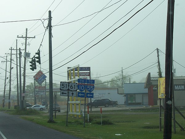
Sign showing the intersection of U.S. Highway 61 (Airline Highway) at U.S. Highway 51 in LaPlace, Louisiana

1955 Interstate Highway plans, showing the Baton Rouge bypass on the Airline Highway as an urban route (numbered I-410 by 1959)
Jefferson Highway
Videos
Page
The Jefferson Highway was an automobile highway stretching through the central United States from New Orleans, Louisiana, to Winnipeg, Manitoba in Canada. The Jefferson Highway was replaced with the new numbered US Highway system in the late 1920s. Portions of the highway are still named Jefferson Highway, for example: the portions that run through Jefferson Parish, Louisiana; East Baton Rouge Parish, Louisiana; Lee's Summit, Missouri; Osseo, Minnesota; and Wadena, Minnesota.

1917 Obelisk marking southern end of Jefferson Highway, on the corner of St. Charles & Common Streets in the New Orleans Central Business District
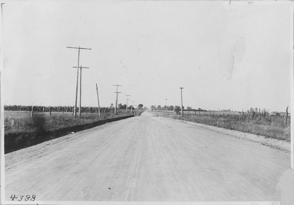
The JH near Leon, Iowa, in 1917