Andaman and Nicobar Islands
The Andaman and Nicobar Islands is a union territory of India. It consists of 836 islands grouped into two island groups: the northern Andaman Islands and the southern Nicobar Islands, separated by a 150 km (93 mi) wide channel. Port Blair is the capital and largest city of the territory, located about 1,190 km (740 mi) from Chennai and 1,255 km (780 mi) from Kolkata in mainland India. The islands are sandwiched between the Bay of Bengal to the west and the Andaman Sea to the east with the northern-most point located 901 km (560 mi) from the mouth of Hooghly river. Indira Point at 6°45’10″N and 93°49’36″E at the southern tip of Great Nicobar is the southernmost point of India.
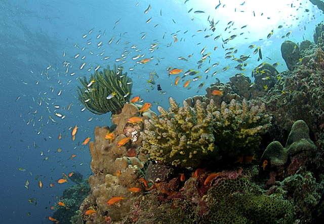
Image: The Coral Reef at the Andaman Islands
Image: Havelock Island, Ethereal mangrove tree, Andaman Islands
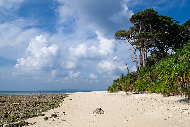
Image: Shaheed Island, Andaman Islands, Tropical beach
Image: Andaman Sea, Andaman Islands
India, officially the Republic of India, is a country in South Asia. It is the seventh-largest country by area; the most populous country as of June 2023; and from the time of its independence in 1947, the world's most populous democracy. Bounded by the Indian Ocean on the south, the Arabian Sea on the southwest, and the Bay of Bengal on the southeast, it shares land borders with Pakistan to the west; China, Nepal, and Bhutan to the north; and Bangladesh and Myanmar to the east. In the Indian Ocean, India is in the vicinity of Sri Lanka and the Maldives; its Andaman and Nicobar Islands share a maritime border with Thailand, Myanmar, and Indonesia.
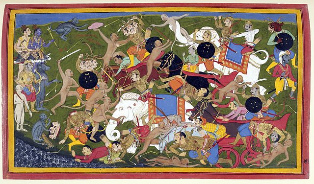
Manuscript illustration, c. 1650, of the Sanskrit epic Ramayana, composed in story-telling fashion c. 400 BCE – c. 300 CE
Cave 26 of the rock-cut Ajanta Caves
Brihadeshwara temple, Thanjavur, completed in 1010 CE
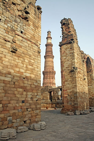
The Qutub Minar, 73 m (240 ft) tall, completed by the Sultan of Delhi, Iltutmish