Anglo-Scottish border
Videos
Page
The Anglo-Scottish border is a border separating Scotland and England which runs for 96 miles (154 km) between Marshall Meadows Bay on the east coast and the Solway Firth in the west.

The A1 road crossing the border between Scotland and England. Entry to Scotland is marked by three Scottish saltires and entry into England is marked by three flags of Northumberland.

History of the border

Scots' Dike

Hadrian's Wall near Greenhead. The Wall has never formed the actual Anglo-Scottish border.
Scotland
Videos
Page
Scotland is a country that is part of the United Kingdom. It contains nearly one-third of the United Kingdom's land area, consisting of the northern part of the island of Great Britain and more than 790 adjacent islands, principally in the archipelagos of the Hebrides and the Northern Isles. To the south-east, Scotland has its only land border, which is 96 miles (154 km) long and shared with England; the country is surrounded by the Atlantic Ocean to the north and west, the North Sea to the north-east and east, and the Irish Sea to the south. The population in 2022 was 5,436,600 and accounts for 8% of the population of the UK. Edinburgh is the capital and Glasgow is the largest of the cities of Scotland.

Skara Brae, Europe's most complete Neolithic village, occupied from roughly 3180 BC – 2500 BC

Callanish Stones, erected in the late Neolithic era
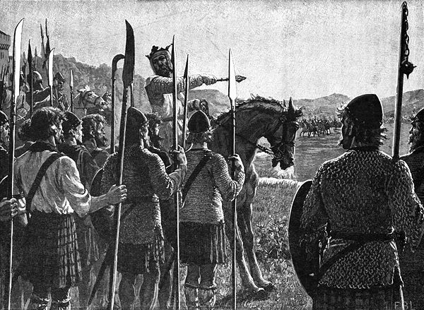
King of Scots Robert I addresses his troops before the Battle of Bannockburn. Drawing from c. 1900.
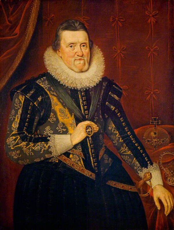
James VI, King of Scotland, succeeded to the English and Irish thrones in 1603.