The Arkansas Highway System is made up of all the highways designated as Interstates, U.S. Highways and State Highways in the US state of Arkansas. The system is maintained by the Arkansas Department of Transportation (ArDOT), known as the Arkansas State Highway Department (AHD) until 1977 and the Arkansas State Highway and Transportation Department (AHTD) from 1977 to 2017. The system contains 16,442.90 miles (26,462.28 km) of Interstates, U.S. Routes, state highways, and special routes. The shortest members are unsigned state highways Arkansas Highway 806 and Arkansas Highway 885, both 0.09 miles (0.14 km) in length. The longest route is U.S. Route 67, which runs 296.95 miles (477.89 km) from Texarkana to Missouri.
Although U.S. Route 62 runs across the entire state of Arkansas, the first segment terminates after 24.65 miles (39.67 km). This segment runs east from the Oklahoma state line until its junction with I-49 (overpass seen in background) in Fayetteville.
This sign on I-40 in Conway shows two different outlines of the State of Arkansas.
Image: Old shield for Arkansas 190
U.S. Route 67 in Arkansas
U.S. Route 67 is a U.S. highway running from Presidio, Texas northeast to Sabula, Iowa. In the U.S. state of Arkansas, the route runs 279.15 miles (449.25 km) from the Texas border in Texarkana northeast to the Missouri border near Corning. The route passes through several cities and towns, including Hope, Benton, Little Rock, Jacksonville, Cabot, Beebe, Walnut Ridge, and Pocahontas.
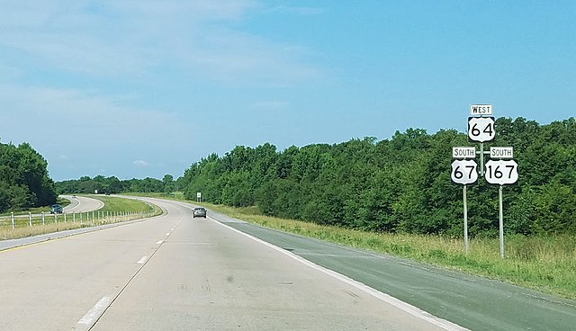
US 67 is concurrent with US 64 and US 167 between Beebe and Bald Knob.