Aurangabad district, Maharashtra
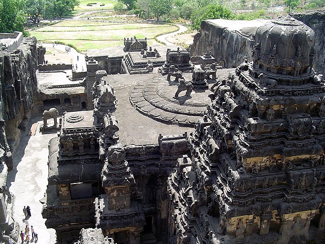
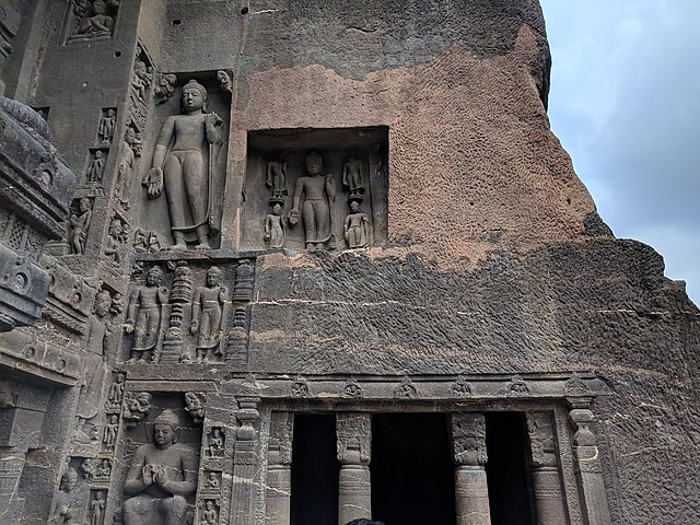
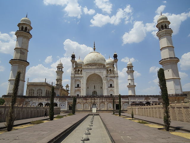
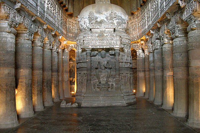
Aurangabad district, officially known as Chhatrapati Sambhaji Nagar district, is one of the 36 districts of the state of Maharashtra in western India. It borders the districts of Nashik to the west, Jalgaon to the north, Jalna to the east, and Ahmednagar to the south. The city of Aurangabad houses the district's administrative headquarters. The district has an area of 10,100 km2, of which 37.55% is urban and the rest is rural. Aurangabad District is a major tourism region in Marathwada.
Image: Kailasha temple at ellora
Image: AJANTA CAVES C.SHELARE (2)
Image: Ajanta Caves 20180921 132619
Image: Bibi Ka Maqbara , Aurangabad
Maharashtra is a state in the western peninsular region of India occupying a substantial portion of the Deccan Plateau. It is bordered by the Arabian Sea to the west, the Indian states of Karnataka and Goa to the south, Telangana to the southeast and Chhattisgarh to the east, Gujarat and Madhya Pradesh to the north, and the Indian union territory of Dadra and Nagar Haveli and Daman and Diu to the northwest. Maharashtra is the second-most populous state in India.
Image: Ajanta Caves, India, Ajanta chaitya (stupa) worship hall, Cave 26
Image: Ellora Caves, India, Religious shrines in Kailash Kailasa Temple
Image: Mahabaleshwar Pratapgad 023
Image: Shivaji Maharaj Raigad 2