Bylot Island
Videos
Page
Bylot Island lies off the northern end of Baffin Island in Nunavut Territory, Canada. Eclipse Sound to the southeast and Navy Board Inlet to the southwest separate it from Baffin Island. Parry Channel lies to its northwest. At 11,067 km2 (4,273 sq mi) it is ranked 71st largest island in the world and Canada's 17th largest island. The island measures 180 km (110 mi) east to west and 110 km (68 mi) north to south and is one of the largest uninhabited islands in the world. While there are no permanent settlements on this Canadian Arctic island, Inuit from Pond Inlet and elsewhere regularly travel to Bylot Island. An Inuit seasonal hunting camp is located southwest of Cape Graham Moore.

July 2012 NASA satellite photograph of Bylot Island

"The Mothership", a 5 km-wide (3-mile) wide terminal lobe of a glacier flowing down from the interior ice cap on top of the Byam Martin Mountains. Note the dramatic terminal moraine "bulldozed" at the ice front.
Uninhabited island
Videos
Page
An uninhabited island, desert island, or deserted island, is an island, islet or atoll that is not permanently populated by humans. Uninhabited islands are often depicted in films or stories about shipwrecked people, and are also used as stereotypes for the idea of "paradise". Some uninhabited islands are protected as nature reserves, and some are privately owned. Devon Island in Canada's far north is the largest uninhabited island in the world.

Helen Reef
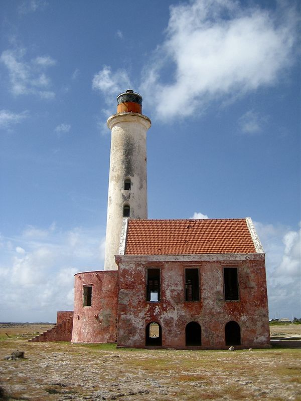
The abandoned lighthouse at Klein Curaçao
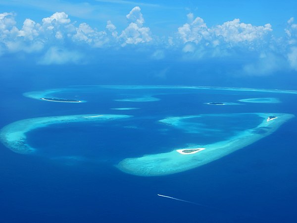
Plane view of Baa Atoll, Maldives

Desert island from Baa Atoll