Caja del Rio
Videos
Page
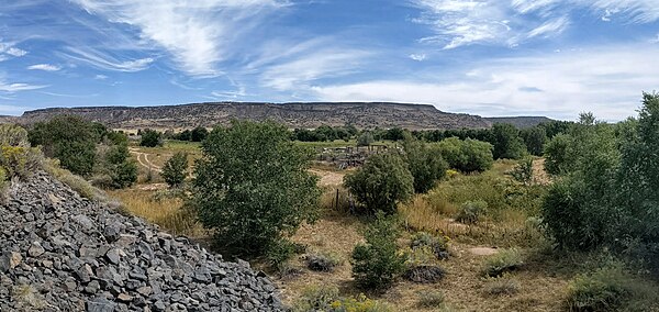
Caja del Rio is a dissected plateau, of volcanic origin, which covers approximately 84,000 acres of land in northern Santa Fe County, New Mexico, United States. The region is also known as the Caja, Caja del Rio Plateau, and Cerros del Rio. The center of the area is approximately 15 miles (23 km) west of Santa Fe, New Mexico. Most of the Caja is owned by the United States Forest Service and managed by the Santa Fe National Forest. Access is through New Mexico Highway 599, Santa Fe County Road 62, and Forest Service Road 24.

View of the Caja del Rio in the distance, across White Rock Canyon from the Pajarito Plateau at Overlook Park, White Rock, New Mexico
La Bajada Mesa from the valley of the Santa Fe River at La Bajada, New Mexico. The switchback route of the old El Camino Real de Tierra Adentro is visible at top center.
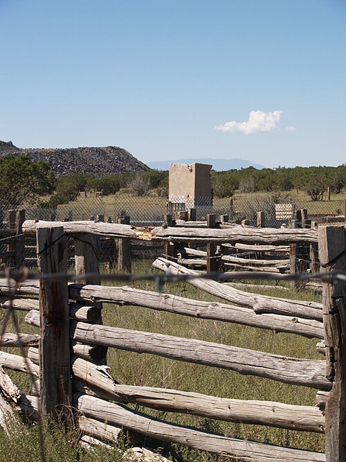
Livestock corrals at the Headquarters trailhead
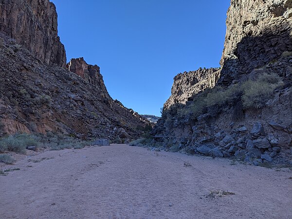
Looking down Caja del Rio Canyon
Rio Grande rift
Videos
Page
The Rio Grande rift is a north-trending continental rift zone. It separates the Colorado Plateau in the west from the interior of the North American craton on the east. The rift extends from central Colorado in the north to the state of Chihuahua, Mexico, in the south. The rift zone consists of four basins that have an average width of 50 kilometres (31 mi). The rift can be observed on location at Rio Grande National Forest, White Sands National Park, Santa Fe National Forest, and Cibola National Forest, among other locations.

Cañones Fault on southeastern margin of Colorado Plateau, near Abiquiú, New Mexico

Deep seismic image of the Rio Grande rift compiled from the seismic transect shown in the previous figure, showing inferred mantle flow and imaged crust-mantle (Moho) topography (after Wilson et al.)(2005).\

Seismic profile from the Rio Grande Rift Seismic Transect (RISTRA) experiment crossing the rift system, with Cenozoic extended terrain of the rift and southern Great Basin tectonic provinces indicated.