California State Route 35
Videos
Page
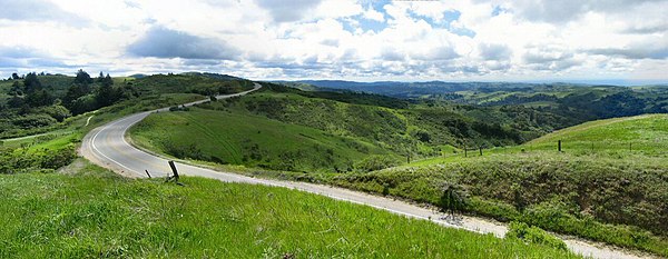
State Route 35, generally known as Skyline Boulevard for most of its length, is a mostly two-lane state highway in the U.S. state of California. It runs along the ridge of the Santa Cruz Mountains from the high point of State Route 17 near Lexington Reservoir in Santa Clara County to State Route 1 just south of Daly City in San Mateo County, where it crosses SR 1 and loops around Lake Merced to become Sloat Boulevard in San Francisco. SR 35 then continues along Sloat Boulevard until it reaches its terminus when it meets SR 1 again at 19th Avenue.
Skyline Boulevard stretches through the Santa Cruz Mountains, here near Palo Alto

SR 35 briefly becomes a divided highway west of Daly City.

The popular Skeggs Point turnout north of SR 84.
Santa Cruz Mountains
Videos
Page
The Santa Cruz Mountains are a mountain range in central and Northern California, United States, constituting a part of the Pacific Coast Ranges. They form a ridge down the San Francisco Peninsula, south of San Francisco. They separate the Pacific Ocean from the San Francisco Bay and the Santa Clara Valley, and continue south to the Central Coast, bordering Monterey Bay and ending at the Salinas Valley. The range passes through the counties of San Mateo, Santa Clara, and Santa Cruz, with the Pajaro River forming the southern boundary.
Skyline Boulevard runs through the Santa Cruz Mountains, here in Portola Valley.
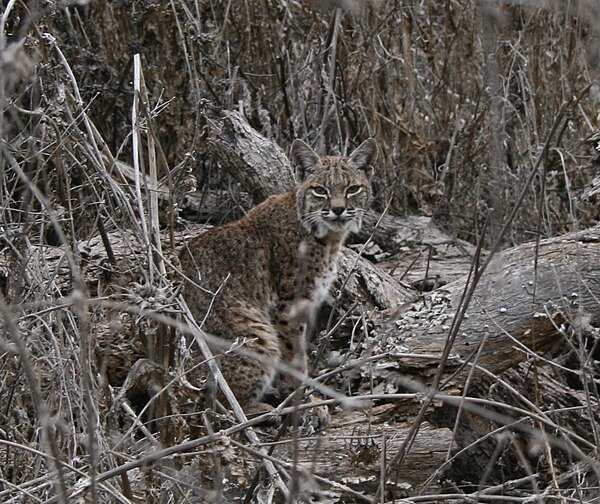
Bobcat in wintertime, at Almaden-Quicksilver Park
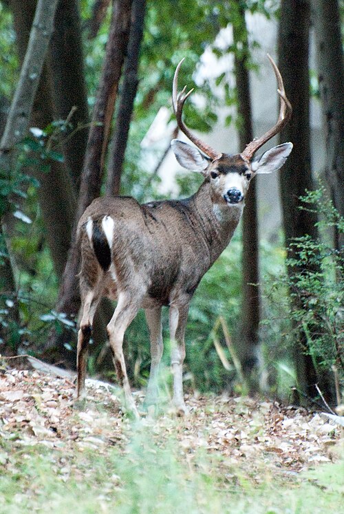
A deer in Ben Lomond
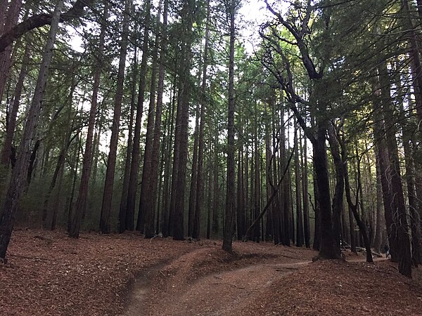
Coastal redwood forests near Santa Cruz.