California State Route 62
Videos
Page
State Route 62 is a state highway in the U.S. state of California that cuts across the Little San Bernardino Mountains in Riverside and San Bernardino counties. Its western terminus is at Interstate 10 in unincorporated Riverside County outside the borders of Whitewater and Palm Springs. Its eastern terminus is at the Arizona state line just east of Parker, Arizona. The highway passes through the city of Twentynine Palms and along the northern boundary of the Joshua Tree National Park.

Signage at the eastern terminus in Parker, Arizona

California Route 62 Marker
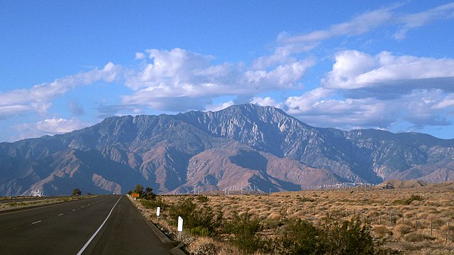
Southerly view of the San Jacinto Mountains, near the western terminus near Whitewater, California
Interstate 10 in California
Videos
Page
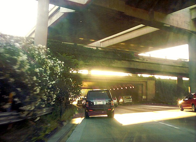
Interstate 10 (I-10) is a transcontinental Interstate Highway in the United States, stretching from Santa Monica, California, to Jacksonville, Florida. The segment of I-10 in California, also known as the Pearl Harbor Memorial Highway, runs east from Santa Monica through Los Angeles, San Bernardino, and Palm Springs before crossing into the state of Arizona. In the Greater Los Angeles area, it is known as the Santa Monica and San Bernardino freeways, linked by a short concurrency on I-5 at the East Los Angeles Interchange. I-10 also has parts designated as the Rosa Parks and Sonny Bono Memorial freeways. Some parts were also formerly designated as the Christopher Columbus Transcontinental Highway. However, the California State Legislature removed this designation following the passage of a bill on August 31, 2022. I-10 is also known colloquially as "the 10" to Southern California residents (See also California English § Freeways).
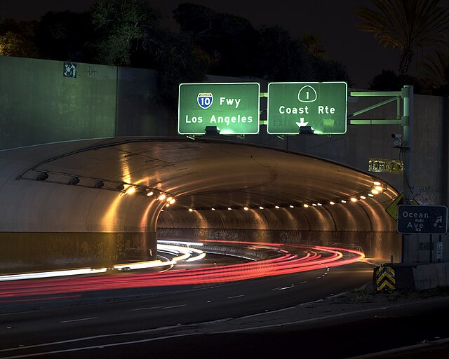
I-10 is signed as if it begins at the McClure Tunnel in Santa Monica, although it legally begins farther east at the SR 1 interchange at Lincoln Boulevard
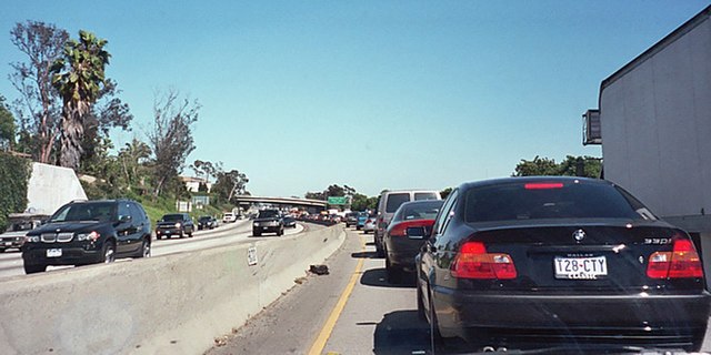
A typical traffic jam on the Santa Monica Freeway, at 2:30 pm on a Wednesday afternoon near Robertson Boulevard
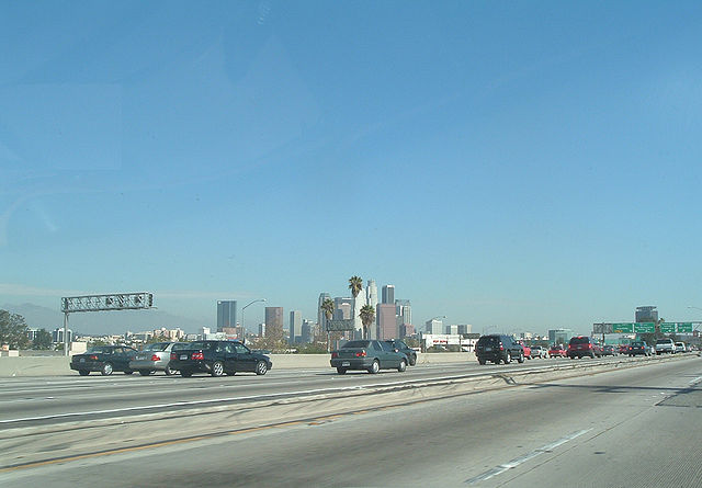
Downtown Los Angeles skyline as seen from the freeway. A slight (smaller than usual rush hour) traffic jam is ahead.
The Dosan Ahn Chang Ho Memorial Interchange (I-110), as seen by traffic going westbound on the Santa Monica