Carn Brea, Redruth
Videos
Page
Carn Brea is a civil parish and hilltop site in Cornwall, England, United Kingdom. The population of Carn Brea including Bosleake and Church Coombe was 8,013 at the 2011 census. The hilltop site is situated approximately one mile (1.6 km) southwest of Redruth. The settlements of Bosleake, Brea, Broad Lane, Carn Arthen, Carn Brea Village, Carnkie, Four Lanes, Grillis, Illogan Highway, Pencoys, Penhallick, Piece, Pool, Tolskithy, Tregajorran, Treskillard, Tuckingmill and West Tolgus are in the parish.
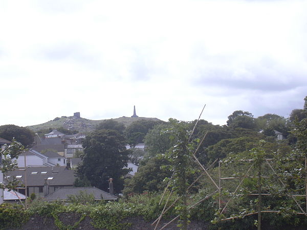
Carn Brea, seen from Redruth. Carn Brea Castle and Monument are visible at the top of the hill.
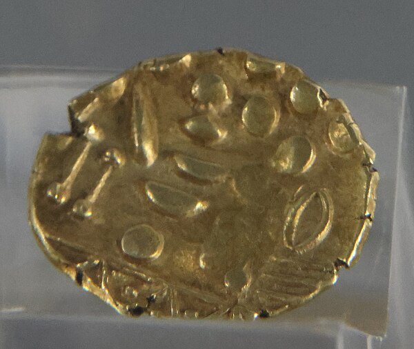
Westerham gold stater from the hoard found in 1749

Carn Brea Castle
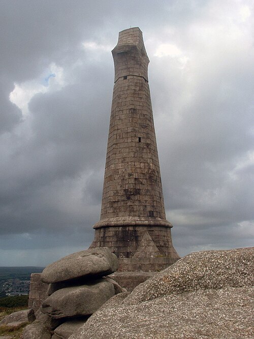
Basset Monument
Redruth
Videos
Page
Redruth is a town and civil parish in Cornwall, England, United Kingdom. The population of Redruth was 14,018 at the 2011 census. In the same year the population of the Camborne-Redruth urban area, which also includes Carn Brea, Illogan and several satellite villages, stood at 55,400 making it the largest conurbation in Cornwall. Redruth lies approximately at the junction of the A393 and A3047 roads, on the route of the old London to Land's End trunk road, and is approximately 9 miles (14 km) west of Truro, 12 miles (19 km) east of St Ives, 18 miles (29 km) north east of Penzance and 11 miles (18 km) north west of Falmouth. Camborne and Redruth together form the largest urban area in Cornwall and before local government reorganisation were an urban district.

Fore Street, Redruth town centre

Celtic wooden cross in New Cut Car Park

Native Copper mineral specimen from Huelvor near Redruth. Hand-colored copper-plate engraving by James Sowerby, 1807.

The Passmore Edwards Free Library