Carrizo Plain
Videos
Page
The Carrizo Plain is a large enclosed grassland plain, approximately 50 miles (80 km) long and up to 15 miles (24 km) across, in southeastern San Luis Obispo County, California, United States, about 100 miles (160 km) northwest of Los Angeles. The southern portion of the Carrizo Plain is within the 246,812-acre (99,881 ha) Carrizo Plain National Monument, which also includes most of the Caliente Range. The Carrizo Plain is the largest single native grassland remaining in California. It includes Painted Rock in the Carrizo Plain Rock Art Discontiguous District, which is listed on the National Register of Historic Places. In 2012 it was further designated a National Historic Landmark due to its archeological value. The San Andreas Fault occurs along the eastern edge of the Carrizo Plain at the western base of the Temblor Range.

Aerial view of the Carrizo Plain. The San Andreas Fault is on the right.

Superbloom in the Temblor Range, April 2017

Aerial view of the south end of Soda Lake in Carrizo Plain National Monument
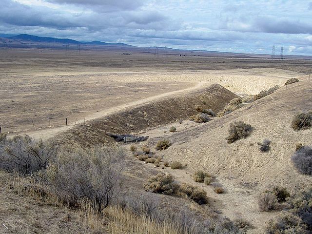
Wallace Creek offset by the San Andreas Fault, by about 430 feet (131 meters) in the last 3,700 years.
San Luis Obispo County, California
Videos
Page
San Luis Obispo County, officially the County of San Luis Obispo, is a county on the Central Coast of California. As of the 2020 census, the population was 282,424. The county seat is San Luis Obispo.
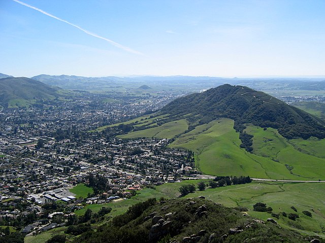
Image: Cerro San Luis
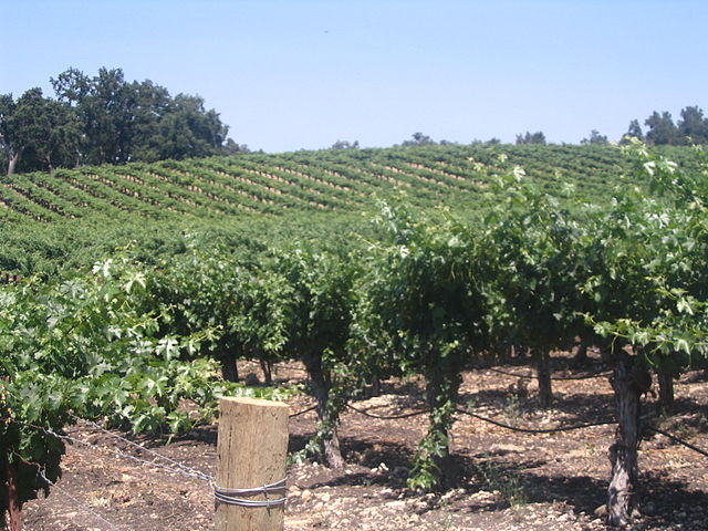
Image: Justin vineyard

Image: Pismo

Image: Mission San Miguel Arches