Catalan Atlas
Videos
Page
The Catalan Atlas is a medieval world map, or mappa mundi, probably created in the late 1370s or the early 1380s, that has been described as the most important map of the Middle Ages in the Catalan language, and as "the zenith of medieval map-work".

Montage of 8 pages (the third to sixth leaves) of the original 1375 Catalan Atlas

Depiction of Mansa Musa, ruler of the Mali Empire, holding a gold object

Western and southern India.
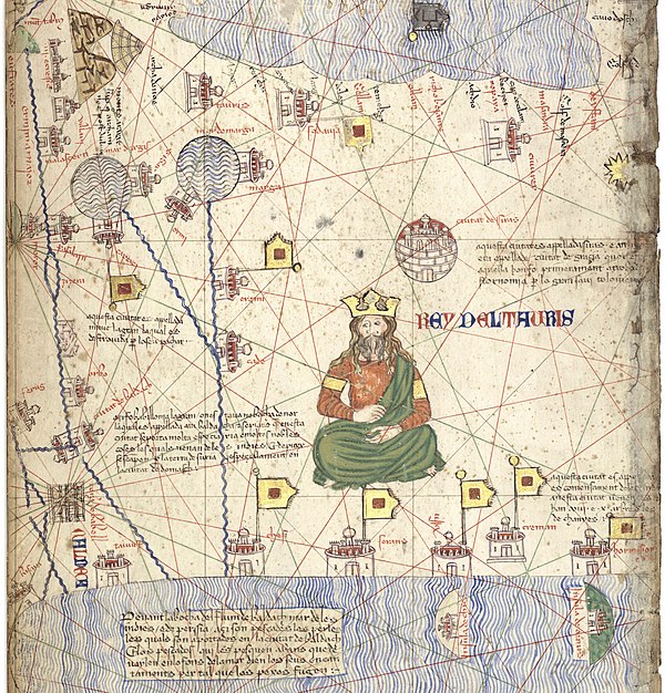
Depiction of the ruler of the Ilkhanate and his realm.
Majorcan cartographic school
Videos
Page
"Majorcan cartographic school" is the term coined by historians to refer to the collection of predominantly Jewish cartographers, cosmographers and navigational instrument-makers and some Christian associates that flourished in Majorca in the 13th, 14th and 15th centuries until the expulsion of the Jews. The label is usually inclusive of those who worked in Catalonia. The Majorcan school is frequently contrasted with the contemporary Italian cartography school.

A part of the Catalan Atlas that was created by Majorca's cartographer Abraham Cresques in 1375
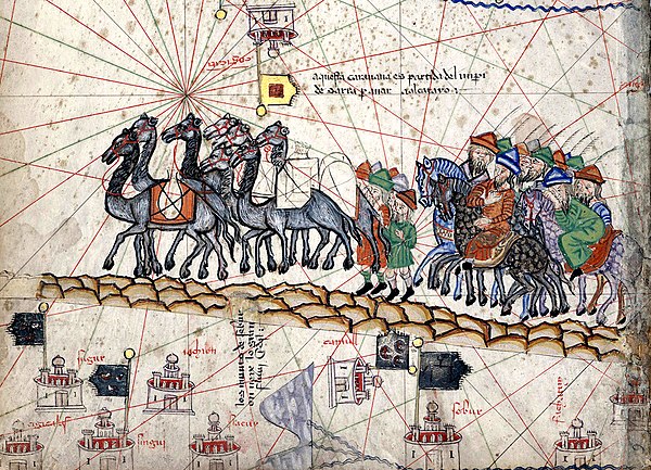
Marco Polo's caravan from the Catalan Atlas