Chaleur Bay
Videos
Page
Chaleur Bay, also Chaleurs Bay, Bay of Chaleur, is an arm of the Gulf of Saint Lawrence located between Quebec and New Brunswick, Canada.

Satellite image of Chaleur Bay (NASA). Chaleur Bay is the large bay in the centre of the image; the Gaspé Peninsula is to the north and the Gulf of St. Lawrence is seen to the east.

View of Chaleur Bay from Carleton-sur-mer, Quebec

Chaleur Bay at New Richmond, Quebec
Gulf of St. Lawrence
Videos
Page
The Gulf of St. Lawrence fringes the shores of the provinces of Quebec, New Brunswick, Nova Scotia, Prince Edward Island, Newfoundland and Labrador, in Canada, plus the islands Saint-Pierre and Miquelon, possessions of France, in North America.

Anticosti National Park, Quebec
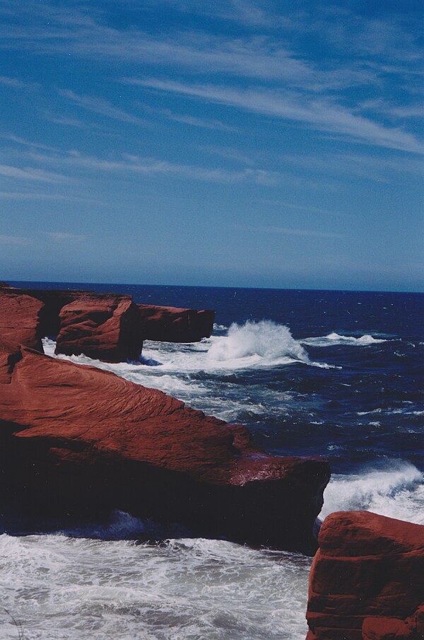
Magdalen Islands, Cap-aux-Meules, Chemin du Phare, tail of storms, winds and rough seas
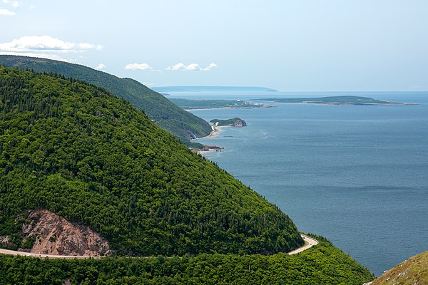
Gulf shore at Cape Breton Highlands National Park

From the top of Pointe-des-Monts Lighthouse, Pointe des Monts bedrock, gulf side (East) 2004