Champlain Canal
Videos
Page
The Champlain Canal is a 60-mile (97 km) canal in New York that connects the Hudson River to the south end of Lake Champlain. It was simultaneously constructed with the Erie Canal for use by commercial vessels, fully opening in 1823. Today, it is mostly used by recreational boaters as part of the New York State Canal System and Lakes to Locks Passage.
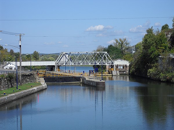
Lock C-12 in Whitehall, New York
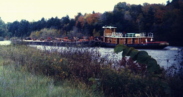
Tug and barge on the Champlain Canal during the 1980s

Second-generation water supply locks known as "The Combines". They supply water from the Hudson River to the Champlain Canal via the Glens Falls Feeder Canal running from Glens Falls to Fort Edward. They were formerly also utilized as secondary locks to navigate from Glen's Falls to the Champlain Canal.
Hudson River
Videos
Page
The Hudson River is a 315-mile (507 km) river that flows from north to south primarily through eastern New York, United States. It originates in the Adirondack Mountains of upstate New York at Henderson Lake in the town of Newcomb, and flows southward through the Hudson Valley to the New York Harbor between New York City and Jersey City, eventually draining into the Atlantic Ocean at Upper New York Bay. The river serves as a physical boundary between the states of New Jersey and New York at its southern end. Farther north, it marks local boundaries between several New York counties. The lower half of the river is a tidal estuary, deeper than the body of water into which it flows, occupying the Hudson Fjord, an inlet that formed during the most recent period of North American glaciation, estimated at 26,000 to 13,300 years ago. Even as far north as the city of Troy, the flow of the river changes direction with the tides.

Bear Mountain Bridge across the Hudson River as seen from Bear Mountain in New York state

The Hudson River flowing out of Henderson Lake in Tahawus
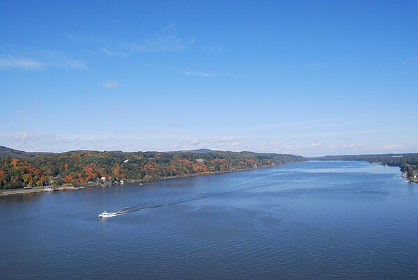
The river from Poughkeepsie, looking north.

The river between Hudson Waterfront in New Jersey (left) and Manhattan (right)