Chartwell
Videos
Page
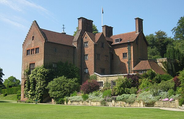
Chartwell is a country house near Westerham, Kent, in South East England. For over forty years it was the home of Sir Winston Churchill. He bought the property in September 1922 and lived there until shortly before his death in January 1965. In the 1930s, when Churchill was out of political office, Chartwell became the centre of his world. At his dining table, he gathered those who could assist his campaign against German re-armament and the British government's response of appeasement; in his study, he composed speeches and wrote books; in his garden, he built walls, constructed lakes and painted. During the Second World War, Chartwell was largely unused, the Churchills returning after he lost the 1945 election. In 1953, when again prime minister, the house became Churchill's refuge when he suffered a debilitating stroke. In October 1964, he left for the last time, dying at his London home, 28 Hyde Park Gate, on 24 January 1965.
Chartwell House

Chartwell – Clementine Churchill's "magnificent aerial bower" to the left

Chartwell was the base from which Churchill waged his campaign against Neville Chamberlain's policy of appeasement
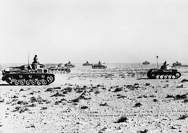
German Panzers at Tobruk, June 1941. Closed up during the war, Chartwell remained Churchill's bolthole at times of crisis
Westerham
Videos
Page
Westerham is a town and civil parish in the Sevenoaks District of Kent, England. It is located 3.4 miles east of Oxted and 6 miles west of Sevenoaks, adjacent to the Kent border with both Greater London and Surrey.
It is recorded as early as the 9th century, and was mentioned in the Domesday Book in a Norman form, Oistreham. Hām is Old English for a village or homestead, and so Westerham means a westerly homestead. The River Darent flows through the town, and formerly powered three watermills.
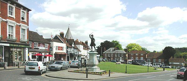
A view across Westerham Green

View of Westerham, Kent ca. 1831, from W. H. Ireland's History of Kent.

View of the Church, 1922

View of the Town, 1922