Colma, California
Videos
Page
Colma is a small incorporated town in San Mateo County, California, United States, on the San Francisco Peninsula in the San Francisco Bay Area. The population was 1,507 at the 2020 census. The town was founded as a necropolis in 1924.
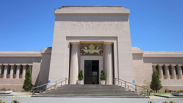
Holy Cross Cemetery

A panoramic view of Colma, California, looking down from San Bruno Mountain

Aerial view of Colma, from the south; San Francisco is visible in the distance at upper right and I-280 runs north in the lower left corner. The prominent rectangular green space in the foreground is the western campus of Cypress Lawn Memorial Park, acquired in the early 1900s.

Aerial view of Colma, facing north; 280 Metro Center is in the lower center, adjacent to Woodlawn (to the north) and Greenlawn (to the east)
San Francisco Peninsula
Videos
Page
The San Francisco Peninsula is a peninsula in the San Francisco Bay Area that separates San Francisco Bay from the Pacific Ocean. On its northern tip is the City and County of San Francisco. Its southern base is Los Altos, Mountain View, in Santa Clara County, south of Palo Alto and north of Sunnyvale and Los Altos. Most of the Peninsula is occupied by San Mateo County, between San Francisco and Santa Clara counties, and including the cities and towns of Atherton, Belmont, Brisbane, Burlingame, Colma, Daly City, East Palo Alto, El Granada, Foster City, Hillsborough, Half Moon Bay, La Honda, Loma Mar, Los Altos, Menlo Park, Millbrae, Mountain View, Pacifica, Palo Alto, Pescadero, Portola Valley, Redwood City, San Bruno, San Carlos, San Mateo, South San Francisco, and Woodside.
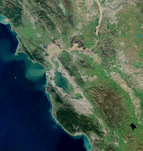
Satellite photo of the San Francisco Bay Area. The San Francisco peninsula protrudes northward. San Francisco is at its tip.

Enlarged detail of the tip of the San Francisco Peninsula