Crewe and Nantwich
Videos
Page
Crewe and Nantwich was, from 1974 to 2009, a local government district with borough status in Cheshire, England. It had a population of 111,007. It contained 69 civil parishes and one unparished area: the town of Crewe. It now forms part of the unitary authority of Cheshire East.

The Municipal Buildings in Crewe, head office of the Borough Council.

Delamere House, Crewe: Council's main offices from 1974
Cheshire
Videos
Page
Cheshire is a ceremonial county in North West England. It is bordered by Merseyside to the north-west, Greater Manchester to the north-east, Derbyshire to the east, Staffordshire to the south-east, and Shropshire to the south; to the west it is bordered by the Welsh counties of Flintshire and Wrexham, and has a short coastline on the Dee Estuary. Warrington is the largest settlement, and the city of Chester is the county town.

Image: The view north west from Beeston Castle geograph.org.uk 4547395 (edited, cropped)

Image: Little Moreton Hall geograph.org.uk 3625859
The Cheshire Plain from the Mid-Cheshire Ridge.
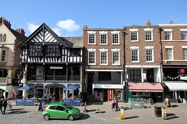
Chester