Croydon Minster
Videos
Page
Croydon Minster is the parish and civic church of the London Borough of Croydon, located in the Old Town area of Croydon. There are currently more than 35 churches in the borough, with Croydon Minster being the most prominent. It is Grade I listed.
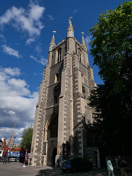
Croydon Minster from the southwest
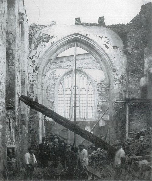
The ruins of the church, following its destruction in 1867: the north chancel aisle looking east
The war memorial in St John’s Memorial Garden, unveiled in 1922
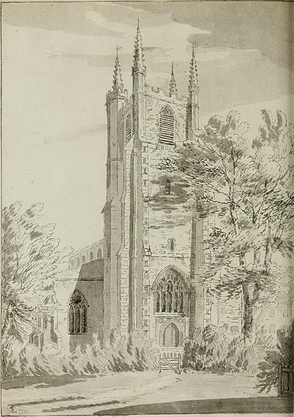
The west tower in 1792
Old Town, Croydon
Videos
Page
Old Town is a neighbourhood in the London Borough of Croydon, lying immediately to the west of Croydon town centre. It is centred on Croydon Minster and the Old Palace, and is the location of the original early medieval settlement of Croydon. As defined for modern planning purposes, the neighbourhood includes Surrey Street Market to the east, and extends west as far as the boundaries of Wandle Park, and south to Croydon Flyover. It is bisected by the dual-carriageway north–south A236, known along this stretch as Roman Way. It is in the CR0 postcode area.

The dual-carriageway Croydon Flyover at Old Town, seen from Ruskin Road

The Bull's Head on Laud Street, a quiet backstreet pub in Old Town