Early world maps
Videos
Page
The earliest known world maps date to classical antiquity, the oldest examples of the 6th to 5th centuries BCE still based on the flat Earth paradigm. World maps assuming a spherical Earth first appear in the Hellenistic period. The developments of Greek geography during this time, notably by Eratosthenes and Posidonius culminated in the Roman era, with Ptolemy's world map, which would remain authoritative throughout the Middle Ages. Since Ptolemy, knowledge of the approximate size of the Earth allowed cartographers to estimate the extent of their geographical knowledge, and to indicate parts of the planet known to exist but not yet explored as terra incognita.

An 1898 reconstruction of Pomponius Mela's view of the world

Modern re-drawing of the Tabula Peutingeriana, from Iberia in the west, to India in the east.

Original Tabula Rogeriana (1154) with south up.
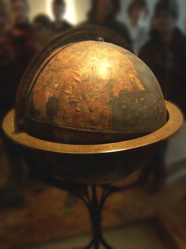
Behaim's Erdapfel
World map
Videos
Page
A world map is a map of most or all of the surface of Earth. World maps, because of their scale, must deal with the problem of projection. Maps rendered in two dimensions by necessity distort the display of the three-dimensional surface of the Earth. While this is true of any map, these distortions reach extremes in a world map. Many techniques have been developed to present world maps that address diverse technical and aesthetic goals.

Mercator projection (showing between 82°S and 82°N)

Mollweide projection
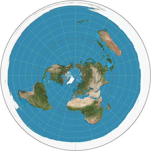
Polar azimuthal equidistant projection
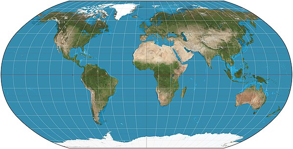
Robinson projection, formerly used by National Geographic Society