Ewing Township, New Jersey
Videos
Page
Ewing Township is a township in Mercer County, in the U.S. state of New Jersey. The township falls within the New York metropolitan area as defined by the U.S. Census Bureau. It borders the Philadelphia metropolitan area and is part of the Federal Communications Commission's Philadelphia Designated Market Area. As of the 2020 United States census, the township's population was 37,264, its highest decennial count ever and an increase of 1,474 (+4.1%) from the 35,790 recorded at the 2010 census, which in turn reflected an increase of 83 (+0.2%) from the 35,707 counted in the 2000 census.
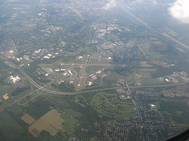
Aerial view of Ewing, looking southeast and featuring Trenton–Mercer Airport, Interstate 295, and the Delaware River
Seal
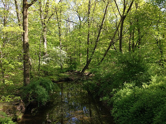
Woodlands along West Branch Shabakunk Creek represent Ewing Township's appearance before the arrival of European settlers.
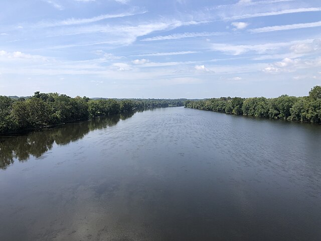
The Delaware River forms the western border of Ewing Township.
Mercer County, New Jersey
Videos
Page
Mercer County is a county located in the U.S. state of New Jersey. Its county seat is Trenton, also the state capital, prompting its nickname The Capital County. Mercer County alone constitutes the Trenton–Princeton metropolitan statistical area and is considered part of the New York combined statistical area by the U.S. Census Bureau, but also directly borders the Philadelphia metropolitan area and is included within the Federal Communications Commission's Philadelphia Designated Media Market Area. The county is part of the Central Jersey region of the state.

The New Jersey State House and its golden dome at Trenton in 2006
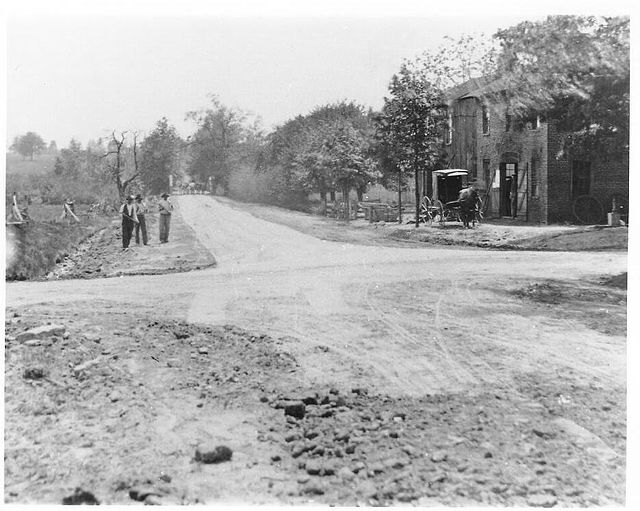
Trenton-New Brunswick Turnpike, the future U.S. Route 1 through Mercer County, 1904

Holder Tower in Princeton University, one of the world's most prominent research universities
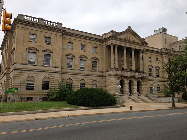
Mercer County Courthouse in Trenton