Flathead River
Videos
Page
The Flathead River, in the northwestern part of the U.S. state of Montana, originates in the Canadian Rockies to the north of Glacier National Park and flows southwest into Flathead Lake, then after a journey of 158 miles (254 km), empties into the Clark Fork. The river is part of the Columbia River drainage basin, as the Clark Fork is a tributary of the Pend Oreille River, a Columbia River tributary. With a drainage basin extending over 8,795 square miles (22,780 km2) and an average discharge of 11,380 cubic feet per second (322 m3/s), the Flathead is the largest tributary of the Clark Fork and constitutes over half of its flow.

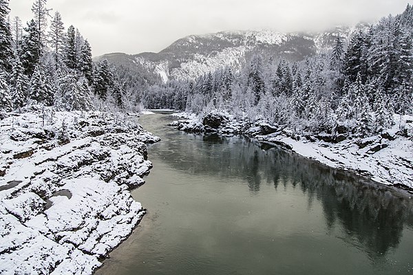
The river near Perma, Montana

The Flathead River leaves the natural basin of Flathead Lake near Polson.
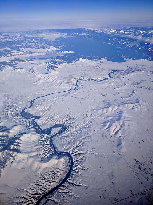
Winter aerial view of the Flathead River below Kerr Dam (below Flathead Lake)
The Flathead River in Glacier National Park during winter
Glacier National Park (U.S.)
Videos
Page
Glacier National Park is an American national park located in northwestern Montana, on the Canada–United States border, adjacent to Waterton Lakes National Park in Canada—the two parks are known as the Waterton-Glacier International Peace Park. The park encompasses more than 1 million acres (4,000 km2) and includes parts of two mountain ranges, more than 130 named lakes, more than 1,000 different species of plants, and hundreds of species of animals. This vast pristine ecosystem is the centerpiece of what has been referred to as the "Crown of the Continent Ecosystem," a region of protected land encompassing 16,000 sq mi (41,000 km2).
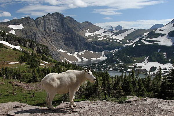
Mountain goat, official park symbol, above Hidden Lake, with Dragons Tail in the distance

Blackfeet camp at upper St. Mary Lake, c. 1916

Many Glacier Hotel on Swiftcurrent Lake

Saint Mary Lake and Wild Goose Island